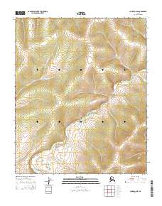
2014 Map of Candle A-3 NW
USGS Topo · Published 2014About this map
The Nigikmigoon River winds through the southeastern and southwestern quadrants of this terrain in the Nome region, defining the drainage patterns of the Seward Peninsula. This 2014 survey captures a remote landscape where the Tipooktulearuk River cuts across the western sections, eventually converging with larger drainage systems. The presence of the Tipuoktulearuk Route in the northwest corner suggests a corridor for overland travel through the tundra, likely utilized for seasonal access or resource management. Surveyed by the U.S. Geological Survey using data from the Alaska Dept. of Transportation and the BLM, the map provides a precise layout of the Public Land Survey System, including t3s r9w and t4s r8w, which are essential for contemporary land management and historical tracking of territorial boundaries.
Find a feature on this map
7 named features on this map. Tap any name to fly to it.
Don’t see what you’re looking for? This feature index may not catch every label — zoom into the map to look around manually.
Map Details
Editions of this 2014 Candle A-3 NW Map
This is the sole edition of this map. No revisions or reprints were ever made.
Other maps of this area

1951 · Candle
USGS Topo · 1:250,000

1955 · Candle
USGS Topo · 1:250,000
1955 · Candle A-4
USGS Topo · 1:63,360

1955 · Candle B-3
USGS Topo · 1:63,360
1955 · Candle B-4
USGS Topo · 1:63,360

1964 · Candle
USGS Topo · 1:250,000
2014 · Candle A-3 SE
USGS Topo · 1:25,000
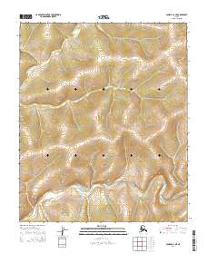
2014 · Candle A-3 NE
USGS Topo · 1:25,000
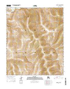
2014 · Candle A-4 NE
USGS Topo · 1:25,000
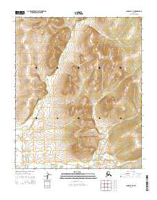
2014 · Candle B-4 SE
USGS Topo · 1:25,000