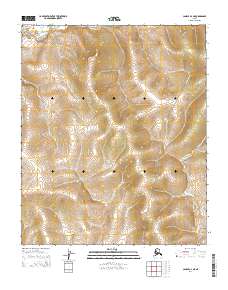
2014 Map of Candle A-4 NE
USGS Topo · Published 2014About this map
The E Fork Koyuk River and the Tipooktulearuk River define the drainage patterns of this Alaskan landscape near the Seward Peninsula. This 2014 survey captures a terrain marked by subtle elevation changes and an absence of permanent settlements, reflecting the remote nature of the region. A solitary land track, the Tipuktuluaruq Route, provides a rare point of human navigation through the north-south corridors of the quadrangle. For those studying the geography of the Alaska interior, the map provides a clear record of the intersection between these river systems and the public land survey boundaries, including t3s r9w and t4s r10w, which delineate the territory for state and federal management.
Find a feature on this map
7 named features on this map. Tap any name to fly to it.
Don’t see what you’re looking for? This feature index may not catch every label — zoom into the map to look around manually.
Map Details
Editions of this 2014 Candle A-4 NE Map
This is the sole edition of this map. No revisions or reprints were ever made.
Other maps of this area

1951 · Candle
USGS Topo · 1:250,000

1955 · Candle
USGS Topo · 1:250,000
1955 · Candle A-4
USGS Topo · 1:63,360

1955 · Candle B-3
USGS Topo · 1:63,360
1955 · Candle B-4
USGS Topo · 1:63,360

1964 · Candle
USGS Topo · 1:250,000
2014 · Candle A-3 NW
USGS Topo · 1:25,000
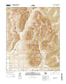
2014 · Candle B-4 SE
USGS Topo · 1:25,000
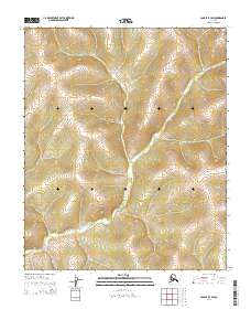
2014 · Candle B-3 SW
USGS Topo · 1:25,000
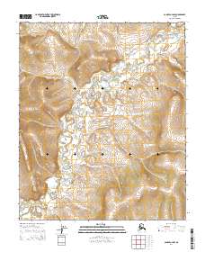
2014 · Candle A-4 NW
USGS Topo · 1:25,000