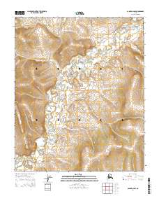
2014 Map of Candle A-4 NW
USGS Topo · Published 2014About this map
The E Fork Koyuk River meanders through this undeveloped landscape in the Seward Peninsula interior, tracing a course that defines the drainage patterns between significant topographic rises. This 2014 survey documents the wilderness character of the region within the Public Land Survey System grids of t35s r11w, t35s r10w, t4s r11w, and t4s r10w. The absence of roads or permanent structures underscores the isolation of this terrain, where the river serves as the primary geographical marker for navigating the vast valleys and surrounding slopes. It provides a baseline for understanding the hydrologic state of the watershed before contemporary shifts in the Arctic environment, capturing the untouched state of the Koyuk headwaters.
Find a feature on this map
5 named features on this map. Tap any name to fly to it.
Don’t see what you’re looking for? This feature index may not catch every label — zoom into the map to look around manually.
Map Details
Editions of this 2014 Candle A-4 NW Map
This is the sole edition of this map. No revisions or reprints were ever made.
Other maps of this area

1950 · Candle B-5
USGS Topo · 1:63,360

1950 · Candle A-5
USGS Topo · 1:63,360

1951 · Candle
USGS Topo · 1:250,000

1955 · Candle
USGS Topo · 1:250,000
1955 · Candle A-4
USGS Topo · 1:63,360
1955 · Candle B-4
USGS Topo · 1:63,360

1964 · Candle
USGS Topo · 1:250,000
2014 · Candle A-5 NE
USGS Topo · 1:25,000
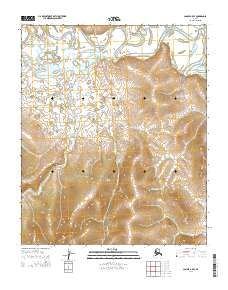
2014 · Candle A-5 SE
USGS Topo · 1:25,000
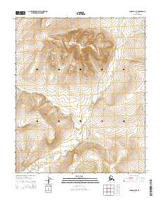
2014 · Candle B-5 SE
USGS Topo · 1:25,000