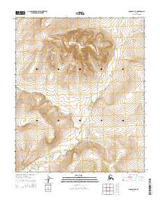
2014 Map of Candle B-5 SE
USGS Topo · Published 2014About this map
The Peace River meanders through this remote portion of the Seward Peninsula, defining the drainage patterns for a series of northern tributaries. The landscape is marked by the winding courses of Sweepstakes Cr, Billy Cr, and Rube Cr, which descend from higher elevations in the north toward the central river valley. This U.S. Geological Survey topographic sheet illustrates the sparse infrastructure characteristic of the Nome region, centered around the Sweepstakes Road corridor.
Find a feature on this map
18 named features on this map. Tap any name to fly to it.
Don’t see what you’re looking for? This feature index may not catch every label — zoom into the map to look around manually.
Map Details
Editions of this 2014 Candle B-5 SE Map
This is the sole edition of this map. No revisions or reprints were ever made.
Other maps of this area

1950 · Candle B-5
USGS Topo · 1:63,360

1950 · Candle A-5
USGS Topo · 1:63,360

1951 · Candle
USGS Topo · 1:250,000

1955 · Candle
USGS Topo · 1:250,000
1955 · Candle A-4
USGS Topo · 1:63,360
1955 · Candle B-4
USGS Topo · 1:63,360

1964 · Candle
USGS Topo · 1:250,000
2014 · Candle A-5 NE
USGS Topo · 1:25,000
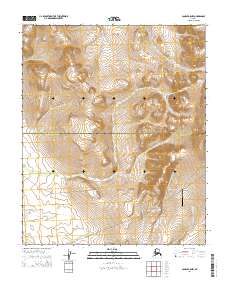
2014 · Candle B-5 NW
USGS Topo · 1:25,000
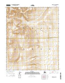
2014 · Candle B-5 NE
USGS Topo · 1:25,000