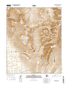
2014 Map of Candle B-5 NW
USGS Topo · Published 2014About this map
Granite Mountain Air Station stands as a significant point of interest on this 2014 survey of the Alaska interior, situated near the boundary where the Northwest Arctic Borough Nome Census Area divides the landscape. This region of the Seward Peninsula is defined by prominent high ground including Weather Ridge and Gossan Ridge, which separate the drainage of the Kiwalik River from its surrounding tributaries.
Find a feature on this map
13 named features on this map. Tap any name to fly to it.
Don’t see what you’re looking for? This feature index may not catch every label — zoom into the map to look around manually.
Map Details
Editions of this 2014 Candle B-5 NW Map
This is the sole edition of this map. No revisions or reprints were ever made.
Other maps of this area

1950 · Candle C-5
USGS Topo · 1:63,360

1950 · Candle B-5
USGS Topo · 1:63,360

1950 · Candle B-6
USGS Topo · 1:63,360

1950 · Candle C-6
USGS Topo · 1:63,360

1951 · Candle
USGS Topo · 1:250,000

1955 · Candle
USGS Topo · 1:250,000

1964 · Candle
USGS Topo · 1:250,000
2014 · Candle C-6 SE
USGS Topo · 1:25,000
2014 · Candle C-5 SE
USGS Topo · 1:25,000
2014 · Candle C-5 SW
USGS Topo · 1:25,000