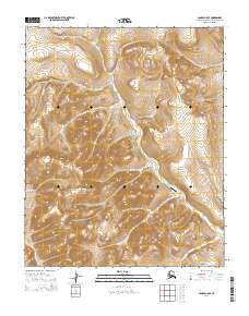
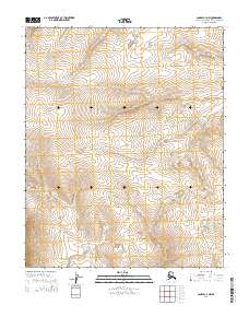
2014 Map of Candle C-5 SE
USGS Topo · Published 2014About this map
Bear Creek 1 Airport serves as a remote aviation point in this interior section of the Northwest Arctic Borough, where the landscape is defined by a dense network of high-latitude waterways. The drainage patterns of Bear Cr, Sheridan Cr, and Eagle Cr carve through the terrain, illustrating the hydrologic complexity of the region. The map captures a moment in the early 21st century where aviation infrastructure provides the primary link to more established settlements. Small tributaries like Poplar Cr, Split Cr, and Bob Cr feed the larger basins, while boundaries for townships such as t2n r12w and t3n r11w delineate the vast, unsurveyed public lands typical of the Alaskan interior.
Find a feature on this map
18 named features on this map. Tap any name to fly to it.
Don’t see what you’re looking for? This feature index may not catch every label — zoom into the map to look around manually.
Map Details
Editions of this 2014 Candle C-5 SE Map
This is the sole edition of this map. No revisions or reprints were ever made.
Other maps of this area

1950 · Candle C-5
USGS Topo · 1:63,360

1950 · Candle B-5
USGS Topo · 1:63,360

1951 · Candle
USGS Topo · 1:250,000

1955 · Candle
USGS Topo · 1:250,000

1955 · Candle C-4
USGS Topo · 1:63,360
1955 · Candle B-4
USGS Topo · 1:63,360

1964 · Candle
USGS Topo · 1:250,000
2014 · Candle C-5 NW
USGS Topo · 1:25,000
2014 · Candle C-5 NE
USGS Topo · 1:25,000
2014 · Candle C-4 NW
USGS Topo · 1:25,000