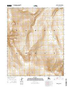
2014 Map of Candle C-5 NE
USGS Topo · Published 2014About this map
Kilulikpuk Cr and Fairhaven Cr define the hydrological landscape of this Arctic terrain within the t4n r12w and t3n r12w land divisions. The map reveals a high-elevation environment where numerous small waterways, such as Sugar Loaf Cr and Scotch Cr, drain the upland slopes. The drainage patterns of Cape Horne Cr and Hunter Cr indicate a complex system of seasonal or permanent streams typical of the Northwest Arctic. This survey provides a baseline of the natural geography before the impact of changing climate cycles, showing the precise locations of unnamed ridges and the named watersheds that have sustained local subsistence and exploration for generations. The absence of roads or permanent structures underscores the remote, undeveloped character of this portion of the Alaska-Northwest Arctic Borough.
Find a feature on this map
12 named features on this map. Tap any name to fly to it.
Don’t see what you’re looking for? This feature index may not catch every label — zoom into the map to look around manually.
Map Details
Editions of this 2014 Candle C-5 NE Map
This is the sole edition of this map. No revisions or reprints were ever made.
Other maps of this area

1950 · Candle C-5
USGS Topo · 1:63,360

1951 · Candle
USGS Topo · 1:250,000

1951 · Candle D-5
USGS Topo · 1:63,360

1955 · Candle
USGS Topo · 1:250,000

1955 · Candle D-4
USGS Topo · 1:63,360

1955 · Candle C-4
USGS Topo · 1:63,360

1964 · Candle
USGS Topo · 1:250,000
2014 · Candle C-5 NW
USGS Topo · 1:25,000
2014 · Candle C-5 SE
USGS Topo · 1:25,000
2014 · Candle D-5 SW
USGS Topo · 1:25,000