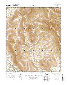
2014 Map of Candle A-5 NE
USGS Topo · Published 2014About this map
Haycock is positioned along the western edge of this interior landscape, which is defined by a series of north-south drainage systems that feed into the Koyuk River. The terrain is marked by significant elevation changes, with numerous creeks such as Eldorado Cr, Dime Cr, and Dollar Cr carving through the uplands. Access to this remote region is provided by the Koyuk Hotsprings Road and Sweepstakes Road, two primary corridors that traverse the central and western portions of the survey. The mapping reveals a land shaped by water, with the Peace River in the northwest and Stephensons Stream contributing to the complex hydrology of the Seward Peninsula. The presence of Greenstone Cr and other named tributaries highlights a landscape traditionally associated with placer mining and small-scale prospecting in the Alaskan interior.
Find a feature on this map
16 named features on this map. Tap any name to fly to it.
Don’t see what you’re looking for? This feature index may not catch every label — zoom into the map to look around manually.
Map Details
Editions of this 2014 Candle A-5 NE Map
This is the sole edition of this map. No revisions or reprints were ever made.
Other maps of this area

1950 · Candle B-5
USGS Topo · 1:63,360

1950 · Candle A-5
USGS Topo · 1:63,360

1951 · Candle
USGS Topo · 1:250,000

1955 · Candle
USGS Topo · 1:250,000
1955 · Candle A-4
USGS Topo · 1:63,360
1955 · Candle B-4
USGS Topo · 1:63,360

1964 · Candle
USGS Topo · 1:250,000
2014 · Candle A-5 SE
USGS Topo · 1:25,000
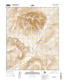
2014 · Candle B-5 SE
USGS Topo · 1:25,000
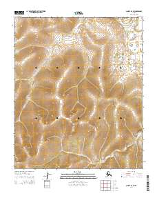
2014 · Candle A-5 SW
USGS Topo · 1:25,000