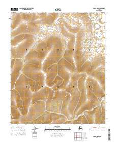
2014 Map of Candle A-5 SW
USGS Topo · Published 2014About this map
The Koyuk River flows through the northern reaches of this landscape in the Nome Census Area, where the topography transitions from the river valley into a series of interior ridges. The drainage patterns of Willow Cr and Kenwood Cr illustrate the complex watershed of this subarctic terrain, long before significant modern infrastructure reached these remote townships. The map details the Public Land Survey System divisions, including t4s r14w, t5s r14w, and t6s r13w, which provide the essential grid for locating land claims and identifying historical resource boundaries in the region.
Find a feature on this map
9 named features on this map. Tap any name to fly to it.
Don’t see what you’re looking for? This feature index may not catch every label — zoom into the map to look around manually.
Map Details
Editions of this 2014 Candle A-5 SW Map
This is the sole edition of this map. No revisions or reprints were ever made.
Other maps of this area

1948 · Norton Bay
USGS Topo · 1:250,000

1950 · Norton Bay D-6
USGS Topo · 1:63,360

1950 · Norton Bay D-5
USGS Topo · 1:63,360

1950 · Candle A-6
USGS Topo · 1:63,360

1950 · Candle A-5
USGS Topo · 1:63,360

1951 · Candle
USGS Topo · 1:250,000

1951 · Norton Bay
USGS Topo · 1:250,000

1955 · Candle
USGS Topo · 1:250,000

1955 · Norton Bay
USGS Topo · 1:250,000

1964 · Candle
USGS Topo · 1:250,000