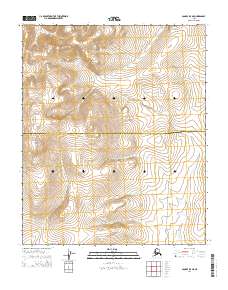
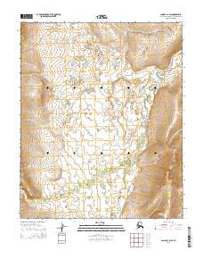
2014 Map of Candle B-5 NE
USGS Topo · Published 2014About this map
Granite Mountain dominates the western landscape of this remote subarctic region, situated along the border of the Northwest Arctic Borough and Nome Census Area. This 2014 survey documents a rugged expanse of the Seward Peninsula defined by the headwaters of the Peace River and its numerous tributaries. The drainage network is dense, featuring Cub Cr, Rock Cr, and Boulder Cr, which carve through the high-elevation terrain. This area represents a transition point in the Alaskan interior where traditional passage is marked by the historical Hotsprings to Mail Route. The presence of the Sweepstakes Road cutting north-south across the eastern section suggests contemporary access for mineral exploration or remote transport, linking the seasonal drainages of Anzac Cr and Spring Cr to the broader regional topography.
Find a feature on this map
15 named features on this map. Tap any name to fly to it.
Don’t see what you’re looking for? This feature index may not catch every label — zoom into the map to look around manually.
Map Details
Editions of this 2014 Candle B-5 NE Map
This is the sole edition of this map. No revisions or reprints were ever made.
Other maps of this area

1950 · Candle C-5
USGS Topo · 1:63,360

1950 · Candle B-5
USGS Topo · 1:63,360

1951 · Candle
USGS Topo · 1:250,000

1955 · Candle
USGS Topo · 1:250,000

1955 · Candle C-4
USGS Topo · 1:63,360
1955 · Candle B-4
USGS Topo · 1:63,360

1964 · Candle
USGS Topo · 1:250,000
2014 · Candle C-5 SE
USGS Topo · 1:25,000
2014 · Candle C-5 SW
USGS Topo · 1:25,000
2014 · Candle C-4 SW
USGS Topo · 1:25,000