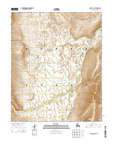
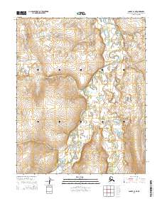
2014 Map of Candle C-4 SW
USGS Topo · Published 2014About this map
W Fork Buckland River and its meandering tributaries dominate this 2014 survey of the Northwest Arctic. The landscape is characterized by a dense network of watercourses and topographical depressions, with Bear Cr weaving through the central and northern sections of the quadrangle. This map primarily illustrates the intricate drainage patterns and undeveloped terrain within the t2n r11w and t2n r10w townships. The lack of human-made infrastructure or named settlements highlights the isolated nature of this subarctic wilderness, where the primary geographical landmarks are the named forks and creeks that define the watershed. The contour lines reveal a complex series of low-lying hills and valleys, offering a detailed record of the natural hydrologic flow across this remote stretch of Alaska.
Find a feature on this map
8 named features on this map. Tap any name to fly to it.
Don’t see what you’re looking for? This feature index may not catch every label — zoom into the map to look around manually.
Map Details
Editions of this 2014 Candle C-4 SW Map
This is the sole edition of this map. No revisions or reprints were ever made.
Other maps of this area

1950 · Candle C-5
USGS Topo · 1:63,360

1950 · Candle B-5
USGS Topo · 1:63,360

1951 · Candle
USGS Topo · 1:250,000

1955 · Candle
USGS Topo · 1:250,000

1955 · Candle C-4
USGS Topo · 1:63,360
1955 · Candle B-4
USGS Topo · 1:63,360

1964 · Candle
USGS Topo · 1:250,000
2014 · Candle C-5 NE
USGS Topo · 1:25,000
2014 · Candle C-5 SE
USGS Topo · 1:25,000
2014 · Candle C-4 NE
USGS Topo · 1:25,000