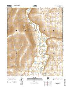
2014 Map of Candle D-6 SW
USGS Topo · Published 2014About this map
The Kiwalik River winds through this subarctic terrain in the Northwest Arctic Borough, serving as the central hydrological artery for a network of mineral-named tributaries. This 2014 survey captures a landscape defined by its placer mining heritage, evidenced by the cluster of gold-rush era stream names such as First Chance Cr, Eldorado Cr, and Bonanza Cr. The topography is marked by significant drainages like Burnside Cr and the descriptively named Rain Gulch in the western reaches. While modern in its production, the map preserves the traditional naming conventions of the Seward Peninsula, from the western Candle Cr to the eastern Lava Cr and Wabash Cr. The lack of established roads or structures highlights the isolation and preserved natural state of this northern interior region.
Find a feature on this map
17 named features on this map. Tap any name to fly to it.
Don’t see what you’re looking for? This feature index may not catch every label — zoom into the map to look around manually.
Map Details
Editions of this 2014 Candle D-6 SW Map
This is the sole edition of this map. No revisions or reprints were ever made.
Other maps of this area

1950 · Bendeleben C-1
USGS Topo · 1:63,360

1950 · Bendeleben
USGS Topo · 1:250,000

1950 · Bendeleben D-1
USGS Topo · 1:63,360

1950 · Candle C-6
USGS Topo · 1:63,360

1951 · Candle
USGS Topo · 1:250,000

1951 · Bendeleben
USGS Topo · 1:250,000

1951 · Candle D-6
USGS Topo · 1:63,360

1955 · Candle
USGS Topo · 1:250,000

1964 · Bendeleben
USGS Topo · 1:250,000

1964 · Candle
USGS Topo · 1:250,000