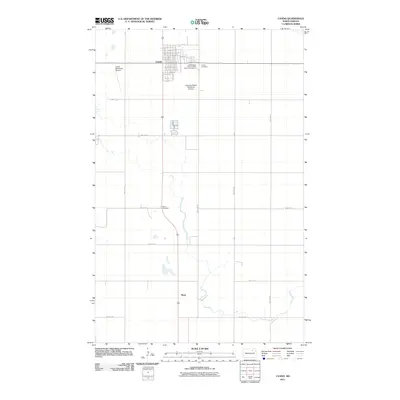
2011 Map of Cando
USGS Topo · Published 2011About this map
The town of Cando serves as the primary hub of this North Dakota landscape, showing a grid of residential and commercial streets anchored by Main St. Outside the town center, the importance of fraternal and community organizations is evident at the Independent Order of Odd Fellows Cemetery and the adjacent Cando Cemetery. The map captures a largely agricultural region punctuated by local infrastructure, including the Cando Municipal Airport and the private Johnston Polled Herefords Airstrip, reflecting the importance of light aviation to rural commerce. To the south, the smaller settlement of Maza sits along the road and rail corridor, while the Olson Cemetery marks a quiet landmark in the open territory between these two communities.
Find a feature on this map
31 named features on this map. Tap any name to fly to it.
Don’t see what you’re looking for? This feature index may not catch every label — zoom into the map to look around manually.
Map Details
Editions of this 2011 Cando Map
This is the sole edition of this map. No revisions or reprints were ever made.
Other maps of this area

1953 · Devils Lake
USGS Topo · 1:250,000

1956 · Devils Lake
USGS Topo · 1:250,000

1957 · Cando SE
USGS Topo · 1:24,000

1957 · Cando
USGS Topo · 1:24,000

1957 · Cando NE
USGS Topo · 1:24,000

1957 · Churchs Ferry
USGS Topo · 1:24,000

1962 · Egeland SE
USGS Topo · 1:24,000

1962 · Egeland SW
USGS Topo · 1:24,000

1971 · Considine
USGS Topo · 1:24,000

1971 · Leeds NE
USGS Topo · 1:24,000