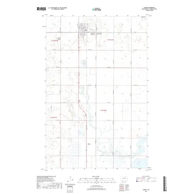
2017 Map of Cando
USGS Topo · Published 2017About this map
Cando serves as the primary hub of this North Dakota landscape, showing a grid of residential streets including Main St, 9th St, and Atkins Dr. To the south, the smaller settlement of Maza sits along the road and rail corridor, reflecting the sparse, organized agricultural development of Towner County. The area's social history is recorded in its burial grounds, from the Independent Order of Odd Fellows Cem and Sacred Heart Catholic Cem near the northern town, to the secluded Olson Cem further south. The terrain is characterized by the prairie pothole geography typical of the region, where numerous small wetlands are interspersed with larger water bodies like Big Coulee in the northeast and the northern reaches of Lake Alice at the bottom of the sheet. Transportation is anchored by the Cando Municipal Airport and a strictly defined system of section-line roads.
Find a feature on this map
38 named features on this map. Tap any name to fly to it.
Don’t see what you’re looking for? This feature index may not catch every label — zoom into the map to look around manually.
Map Details
Editions of this 2017 Cando Map
This is the sole edition of this map. No revisions or reprints were ever made.
Other maps of this area

1953 · Devils Lake
USGS Topo · 1:250,000

1956 · Devils Lake
USGS Topo · 1:250,000

1957 · Cando SE
USGS Topo · 1:24,000

1957 · Cando
USGS Topo · 1:24,000

1957 · Cando NE
USGS Topo · 1:24,000

1957 · Churchs Ferry
USGS Topo · 1:24,000

1962 · Egeland SE
USGS Topo · 1:24,000

1962 · Egeland SW
USGS Topo · 1:24,000

1971 · Considine
USGS Topo · 1:24,000

1971 · Leeds NE
USGS Topo · 1:24,000