
2023 Map of Candor
USGS Topo · Published 2023About this map
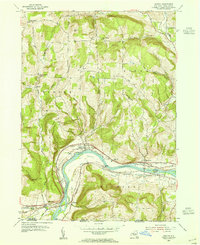
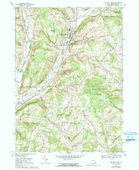
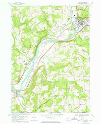
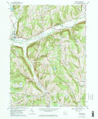
Catatonk Creek carves a deep valley through this Tioga County landscape, serving as the primary corridor for the village of Candor and smaller hamlets like Catatonk. The village layout is oriented along Main St and Water St, while the surrounding uplands are defined by family-named landmarks and high-elevation summits such as Diamond Peak and Hubbard Hill. Small rural settlements like Germany Hill and Flemingville are scattered across the higher ground, often centered near local burial sites like Germany Hill Cem or Woodbridge Cem. The road network, including historic routes like Old Ithaca Rd and Owego Rd, reveals a settlement pattern dictated by the steep drainages of Willseyville Creek and the West Branch Owego Creek.
Find a feature on this map
94 named features on this map. Tap any name to fly to it.
Don’t see what you’re looking for? This feature index may not catch every label — zoom into the map to look around manually.
Map Details
Editions of this 2023 Candor Map
This is the sole edition of this map. No revisions or reprints were ever made.
Historical Maps of Owego Through Time
19 maps found
1903 Owego
Tioga County, NY

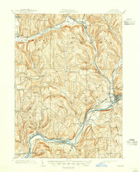
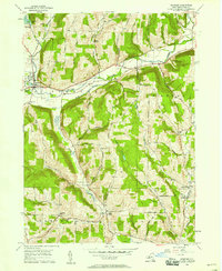
1906 Catatonk
Tioga County, NY
1950 Richford
Tioga County, NY
1953 Barton
Tioga County, NY
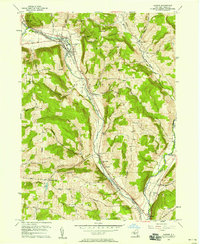
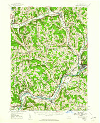
1956 Candor
Tioga County, NY

1956 Newark Valley
Tioga County, NY
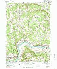
1956 Owego
Tioga County, NY
1956 Spencer
Tioga County, NY
1969 Barton
Tioga County, NY
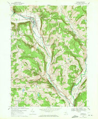
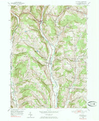
1969 Candor
Tioga County, NY
1969 Newark Valley
Tioga County, NY
1969 Owego
Tioga County, NY
1969 Spencer
Tioga County, NY

2023 Barton
Tioga County, NY
2023 Candor
Tioga County, NY

2023 Newark Valley
Tioga County, NY

2023 Owego
Tioga County, NY

2023 Richford
Tioga County, NY

2023 Spencer
Tioga County, NY