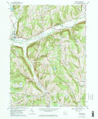
1969 Map of Spencer
USGS Topo · Published 1972About this map
Catatonk Creek and its many tributaries, including Michigan Creek and Miller Creek, carve through the complex topography of Tioga County. The village of Spencer serves as a primary hub, situated near the headwaters of the creek system and the shores of Spencer Lake. The landscape is a patchwork of steep hills such as Emery Hill and Tallow Hill, which separate several small, named valleys. Transport patterns reflect both the industrial past and the rural present, with the Lehigh Valley railroad line running through the village while an Old Railroad Grade remains visible further east. Local history is anchored by rural landmarks like the Straits Corners Ch and several small burial grounds, including Baptist Corners Cem and Gravel Pit Cem, providing valuable touchpoints for genealogical research in this southern Tier region.
Find a feature on this map
64 named features on this map. Tap any name to fly to it.
Don’t see what you’re looking for? This feature index may not catch every label — zoom into the map to look around manually.
Map Details
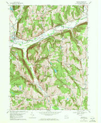
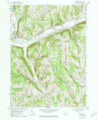
Editions of this 1969 Spencer Map
3 editions found
Other maps of this area

1893 · Ithaca
USGS Topo · 1:62,500

1895 · Ithaca
USGS Topo · 1:62,500

1900 · Dryden
USGS Topo · 1:62,500

1902 · Waverly
USGS Topo · 1:62,500

1903 · Owego
USGS Topo · 1:62,500

1905 · Watkins Glen
USGS Topo · 1:125,000

1906 · Catatonk
USGS Topo · 1:125,000

1949 · Willseyville
USGS Topo · 1:24,000

1949 · Speedsville
USGS Topo · 1:24,000

1950 · Elmira
USGS Topo · 1:250,000