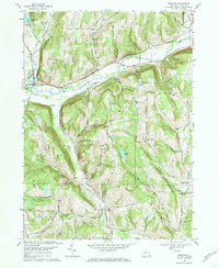
1969 Map of Spencer
USGS Topo · Published 1972About this map
The village of Spencer and the surrounding Tioga County townships of Candor, Barton, and Tioga are shown here as they appeared in the late 1960s. The landscape is defined by the steep-sided valleys of Catatonk Creek and its South Branch, with the Lehigh Valley railroad line following the natural corridor created by these waterways. Settlement is concentrated along the valley floors, while the higher elevations are marked by numerous family-named peaks such as Miller Settlement Hill, Dawson Hill, and Emery Hill.
Find a feature on this map
61 named features on this map. Tap any name to fly to it.
Don’t see what you’re looking for? This feature index may not catch every label — zoom into the map to look around manually.
Map Details
Editions of this 1969 Spencer Map
3 editions found
Other maps of this area

1893 · Ithaca
USGS Topo · 1:62,500

1895 · Ithaca
USGS Topo · 1:62,500

1900 · Dryden
USGS Topo · 1:62,500

1902 · Waverly
USGS Topo · 1:62,500

1903 · Owego
USGS Topo · 1:62,500

1905 · Watkins Glen
USGS Topo · 1:125,000

1906 · Catatonk
USGS Topo · 1:125,000

1949 · Willseyville
USGS Topo · 1:24,000

1949 · Speedsville
USGS Topo · 1:24,000

1950 · Elmira
USGS Topo · 1:250,000