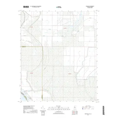
2018 Map of Cane Bayou
USGS Topo · Published 2018About this map
Steele Bayou and Cane Bayou weave through the alluvial lowlands of the Mississippi River delta, marking a landscape defined by its complex drainage network and shifting parish and county lines. This 2018 survey documents the interface between Warren County and Issaquena County, extending south to the curve of Eagle Lake and the border of Madison Parish, Louisiana. The geography is characterized by seasonal wetlands and an intricate web of rural access routes like Newman Road and Anderson Tully Road, which serve the timberlands and hunting grounds typical of the region. The map highlights the hydrographic features of the basin, including Cypress Lake and Muddy Bayou, illustrating how water dictates land use and accessibility in this corner of the Deep South.
Find a feature on this map
24 named features on this map. Tap any name to fly to it.
Don’t see what you’re looking for? This feature index may not catch every label — zoom into the map to look around manually.
Map Details
Editions of this 2018 Cane Bayou Map
This is the sole edition of this map. No revisions or reprints were ever made.
Other maps of this area

1909 · Millikens Bend
USGS Topo · 1:24,000

1918 · Vicksburg
USGS Topo · 1:62,500

1939 · Onward
USGS Topo · 1:62,500

1939 · Talla Bena
USGS Topo · 1:62,500

1939 · Alsatia
USGS Topo · 1:62,500

1941 · Vicksburg
USGS Topo · 1:62,500

1955 · Jackson
USGS Topo · 1:250,000

1961 · Jackson
USGS Topo · 1:250,000

1962 · Jackson
USGS Topo · 1:250,000

1962 · Redwood
USGS Topo · 1:24,000