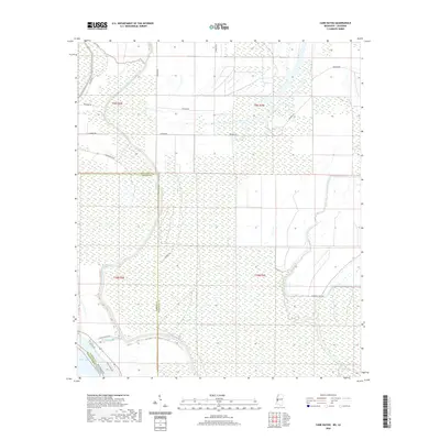
2020 Map of Cane Bayou
USGS Topo · Published 2020About this map
Steele Bayou meanders across this low-lying landscape, defining much of the drainage pattern at the intersection of Warren and Issaquena counties. The terrain is characterized by intricate wetland systems and a network of rural roads that navigate the complex hydrology of the Mississippi Delta region. In the south, Muddy Bayou connects toward the edge of Eagle Lake, a prominent oxbow feature that indicates the historical movement of the river. Human activity is marked by scattered thoroughfares like Newman Rd and Anderson Tully Rd, which likely serve local timber or agricultural interests. The convergence of Warren and Issaquena counties highlights the significance of these waterways as natural and political boundaries in a region defined by its alluvial history.
Find a feature on this map
21 named features on this map. Tap any name to fly to it.
Don’t see what you’re looking for? This feature index may not catch every label — zoom into the map to look around manually.
Map Details
Editions of this 2020 Cane Bayou Map
This is the sole edition of this map. No revisions or reprints were ever made.
Other maps of this area

1909 · Millikens Bend
USGS Topo · 1:24,000

1918 · Vicksburg
USGS Topo · 1:62,500

1939 · Onward
USGS Topo · 1:62,500

1939 · Talla Bena
USGS Topo · 1:62,500

1939 · Alsatia
USGS Topo · 1:62,500

1941 · Vicksburg
USGS Topo · 1:62,500

1955 · Jackson
USGS Topo · 1:250,000

1961 · Jackson
USGS Topo · 1:250,000

1962 · Jackson
USGS Topo · 1:250,000

1962 · Redwood
USGS Topo · 1:24,000