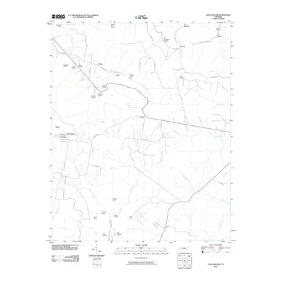
2010 Map of Cane Hollow
USGS Topo · Published 2010About this map
Marvin Chapel and a network of family-named cemeteries like Wooten and Winton anchor this corner of the Cumberland Plateau in the early 21st century. The landscape is defined by the headwaters of the Elk River and a series of dramatic geographic features including Hickory Creek Gulf and The Gap. These deep incisions into the plateau, such as Hubbard Cove and Cane Hollow, dictated the placement of early roads like Hubbards Cove Rd and Wooden Rd.
Find a feature on this map
67 named features on this map. Tap any name to fly to it.
Don’t see what you’re looking for? This feature index may not catch every label — zoom into the map to look around manually.
Map Details
Editions of this 2010 Cane Hollow Map
This is the sole edition of this map. No revisions or reprints were ever made.
Other maps of this area

1893 · Mc Minnville
USGS Topo · 1:125,000

1895 · Mc Minnville
USGS Topo · 1:125,000

1895 · Sewanee
USGS Topo · 1:125,000

1936 · Alto
USGS Topo · 1:24,000

1936 · Burrow Cove
USGS Topo · 1:24,000

1936 · Tracy City
USGS Topo · 1:24,000

1936 · Morrison
USGS Topo · 1:24,000

1936 · Hillsboro
USGS Topo · 1:24,000

1936 · Cane Hollow
USGS Topo · 1:24,000

1943 · Mc Minnville
USGS Topo · 1:100,000