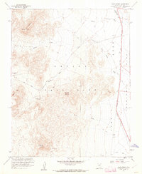
1961 Map of Cane Spring
USGS Topo · Published 1962About this map
Nevada Test Site Area 5 dominates this Cold War era landscape, mapped in cooperation with the Atomic Energy Commission during the height of desert nuclear testing. The terrain is defined by dry drainage systems including Neilson Wash, Mara Wash, and Cane Spring Wash that feed into the broad expanse of Frenchman Flat. At the center of the topographic detail sits Mt Salyer, surrounded by a network of Jeep Trails that navigate the slopes of Skull Mtn and Hampel Hill. The presence of Cane Spring and Well G indicates critical water sources in an otherwise arid environment. Along the eastern edge, the Mercury Highway provides the primary artery through this restricted zone, passing by a Gravel Pit and through the lower reaches of Indian Springs Wash. This 1961 field-checked survey documents a highly specialized landscape where military testing infrastructure meets classic Great Basin topography.
Find a feature on this map
17 named features on this map. Tap any name to fly to it.
Don’t see what you’re looking for? This feature index may not catch every label — zoom into the map to look around manually.
Map Details
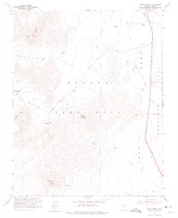
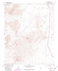
Editions of this 1961 Cane Spring Map
3 editions found
Other maps of this area

1907 · Las Vegas
USGS Topo · 1:250,000

1908 · Furnace Creek
USGS Topo · 1:250,000

1908 · Las Vegas
USGS Topo · 1:250,000

1910 · Furnace Creek
USGS Topo · 1:250,000

1942 · Indian Spring
USGS Topo · 1:125,000

1942 · Skull Mountain
USGS Topo · 1:125,000

1948 · Death Valley
USGS Topo · 1:250,000

1952 · Specter Range
USGS Topo · 1:62,500

1952 · Mercury
USGS Topo · 1:62,500
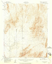
1952 · Frenchman Lake
USGS Topo · 1:62,500