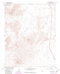
1961 Map of Cane Spring
USGS Topo · Published 1984About this map
Nevada Test Site Area 5 dominates this Cold War era landscape, mapped in cooperation with the Atomic Energy Commission. The survey reveals a high-desert environment where topographic features like Skull Mtn and Mt Salyer define the terrain, while water sources such as Cane Spring and Pavits Spring provided critical focal points in an otherwise arid expanse. The eastern edge is marked by the Mercury Highway and the transition into Frenchman Flat, showing the infrastructure required for remote government operations. Local-history interest is found in the traces of earlier routes, including the Old Indian Springs Road, and isolated industrial markers like Drill Hole 4, which hint at the specialized subterranean investigations conducted within the test range during the mid-20th century.
Find a feature on this map
21 named features on this map. Tap any name to fly to it.
Don’t see what you’re looking for? This feature index may not catch every label — zoom into the map to look around manually.
Map Details
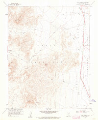
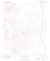
Editions of this 1961 Cane Spring Map
3 editions found
Other maps of this area

1907 · Las Vegas
USGS Topo · 1:250,000

1908 · Furnace Creek
USGS Topo · 1:250,000

1908 · Las Vegas
USGS Topo · 1:250,000

1910 · Furnace Creek
USGS Topo · 1:250,000

1942 · Indian Spring
USGS Topo · 1:125,000

1942 · Skull Mountain
USGS Topo · 1:125,000

1948 · Death Valley
USGS Topo · 1:250,000

1952 · Specter Range
USGS Topo · 1:62,500

1952 · Mercury
USGS Topo · 1:62,500
1952 · Frenchman Lake
USGS Topo · 1:62,500