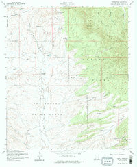
1958 Map of Canelo Pass
USGS Topo · Published 1974About this map
High-altitude ranching and the arid headwaters of the Santa Cruz River define this corner of the Arizona borderlands. Located within the Coronado National Forest, the terrain transitions from the open grasslands of the San Rafael Valley to the wooded slopes of the Canelo Hills. This mid-century survey documents a landscape of scattered working estates, including the Little Outfit Ranch, Vaca Ranch, and Ki-He-Kah Ranch, alongside evidence of earlier activity at a small cemetery and various prospects. The map’s dense network of livestock tanks, such as Bog Hole Tank and Bear Tank, illustrates the critical importance of water management in this high-desert environment. Prominent landmarks like Lookout Knoll and Jones Mesa provide orientation across a complex system of drainages, including Cherry Creek and Turkey Creek.
Find a feature on this map
40 named features on this map. Tap any name to fly to it.
Don’t see what you’re looking for? This feature index may not catch every label — zoom into the map to look around manually.
Map Details
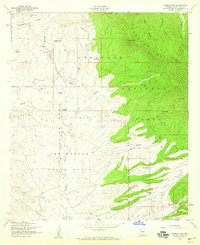
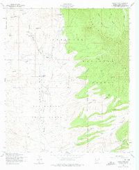
Editions of this 1958 Canelo Pass Map
Other maps of this area

1904 · Patagonia
USGS Topo · 1:125,000

1905 · Patagonia
USGS Topo · 1:125,000

1905 · Nogales
USGS Topo · 1:125,000

1914 · Hereford
USGS Topo · 1:125,000

1915 · Benson
USGS Topo · 1:125,000

1922 · Sunnyside
USGS Topo · 1:62,500

1932 · Lochiel
USGS Topo · 1:62,500

1932 · Elgin
USGS Topo · 1:62,500

1938 · Huachuca
USGS Topo · 1:62,500

1938 · Sunnyside
USGS Topo · 1:62,500