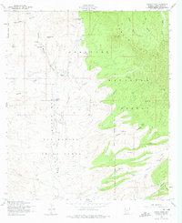
1958 Map of Canelo Pass
USGS Topo · Published 1974About this map
San Rafael Valley dominates the southern landscape of this 1950s Arizona borderlands survey, where the headwaters of the Santa Cruz River flow through an open expanse of grassland and high-desert draws. To the north and east, the Canelo Hills rise sharply within the Coronado National Forest, marked by peaks like Lookout Knoll. This era was defined by a ranching economy, visible in the dispersed network of family-named spreads and the essential infrastructure of water tanks.
Find a feature on this map
47 named features on this map. Tap any name to fly to it.
Don’t see what you’re looking for? This feature index may not catch every label — zoom into the map to look around manually.
Map Details
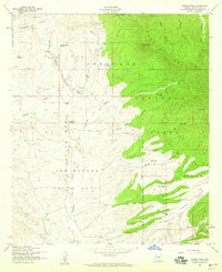
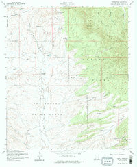
Editions of this 1958 Canelo Pass Map
Other maps of this area

1904 · Patagonia
USGS Topo · 1:125,000

1905 · Patagonia
USGS Topo · 1:125,000

1905 · Nogales
USGS Topo · 1:125,000

1914 · Hereford
USGS Topo · 1:125,000

1915 · Benson
USGS Topo · 1:125,000

1922 · Sunnyside
USGS Topo · 1:62,500

1932 · Lochiel
USGS Topo · 1:62,500

1932 · Elgin
USGS Topo · 1:62,500

1938 · Huachuca
USGS Topo · 1:62,500

1938 · Sunnyside
USGS Topo · 1:62,500