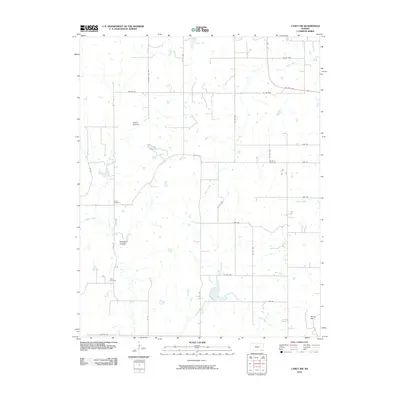
2010 Map of Caney NW
USGS Topo · Published 2010About this map
Illinois Creek and its many tributaries, including Bee Creek and Onion Creek, create a dendritic drainage pattern across this rural Montgomery County landscape. The topography is defined by significant natural landmarks such as Green Hollow in the north and Sorghum Hollow further south, with Berry Hill rising in the southeast corner. This 2010 USGS survey documents a well-established grid of rural corridors like Quivira Rd and Junction Rd, alongside the primary artery of US Hwy 160. For those tracing local heritage, the map identifies three distinct burial sites: Rutland Cemetery, Burton Cemetery, and Todd Cemetery. These features, coupled with the numerous small ponds and watershed breaks, illustrate the agricultural and geographical character of the region during the early 21st century.
Find a feature on this map
34 named features on this map. Tap any name to fly to it.
Don’t see what you’re looking for? This feature index may not catch every label — zoom into the map to look around manually.
Map Details
Editions of this 2010 Caney NW Map
This is the sole edition of this map. No revisions or reprints were ever made.
Other maps of this area

1885 · Sedan
USGS Topo · 1:125,000

1886 · Independence
USGS Topo · 1:125,000

1889 · Sedan
USGS Topo · 1:125,000

1894 · Independence
USGS Topo · 1:125,000

1905 · Independence
USGS Topo · 1:125,000

1947 · Joplin
USGS Topo · 1:250,000

1949 · Joplin
USGS Topo · 1:250,000

1954 · Joplin
USGS Topo · 1:250,000

1955 · Wichita
USGS Topo · 1:250,000

1958 · Wichita
USGS Topo · 1:250,000