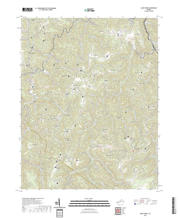
2022 Map of Caney Ridge
USGS Topo · Published 2022About this map
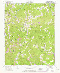
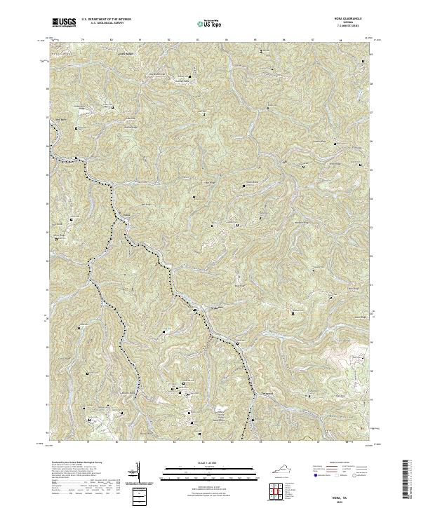
Caney Ridge defines the high ground of the Cumberland Plateau along the Dickenson and Wise county line. The landscape is characterized by a dense concentration of family cemeteries, such as Salyers Cem, Mullins Cem, and Buchanan Cem, which are scattered across prominent heights like Bise Ridge and Porter Ridge. These family burial grounds reflect the deep-rooted genealogical history of the isolated hollows and gaps that structure the region.
Find a feature on this map
161 named features on this map. Tap any name to fly to it.
Don’t see what you’re looking for? This feature index may not catch every label — zoom into the map to look around manually.
Map Details
Editions of this 2022 Caney Ridge Map
This is the sole edition of this map. No revisions or reprints were ever made.
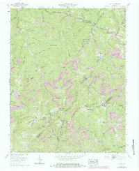
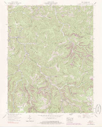
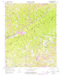
Historical Maps of Foraker Through Time
10 maps found
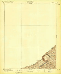
1916 Regina
Dickenson County, VA
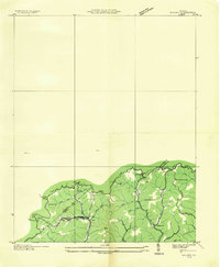
1935 Wilder
Dickenson County, VA
1954 Jenkins East
Dickenson County, VA
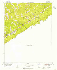
1958 Caney Ridge
Dickenson County, VA
1958 Duty
Dickenson County, VA
1958 Nora
Dickenson County, VA
1963 Jenkins East
Dickenson County, VA
2022 Caney Ridge
Dickenson County, VA

2022 Duty
Dickenson County, VA
2022 Nora
Dickenson County, VA