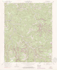
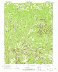
1958 Map of Nora
USGS Topo · Published 1985About this map
The McClure River carves a path through the heart of this Appalachian landscape, dictating the development of coal-country settlements like McClure, Stratton, and Nora. In this mid-century period, the Clinchfield RR serves as the industrial spine of the region, passing through the Buffalo Tunnel to move through the steep terrain. The map reveals a dense network of family-named ridges and gaps, where numerous hilltop cemeteries such as Nealy Ridge Cem and Ramsey Ridge Cem mark long-established genealogical roots.
Find a feature on this map
75 named features on this map. Tap any name to fly to it.
Don’t see what you’re looking for? This feature index may not catch every label — zoom into the map to look around manually.
Map Details
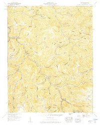
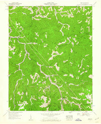
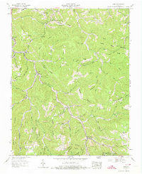
Editions of this 1958 Nora Map
5 editions found
Other maps of this area

1886 · Grundy
USGS Topo · 1:125,000

1890 · Grundy
USGS Topo · 1:125,000

1892 · Grundy
USGS Topo · 1:125,000

1897 · Bristol
USGS Topo · 1:125,000

1902 · Bristol
USGS Topo · 1:125,000

1913 · Clintwood
USGS Topo · 1:62,500

1914 · Bucu
USGS Topo · 1:48,000

1915 · Clintwood
USGS Topo · 1:62,500

1916 · Bucu
USGS Topo · 1:62,500

1918 · Carterton
USGS Topo · 1:62,500