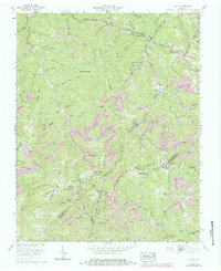
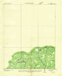
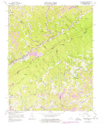
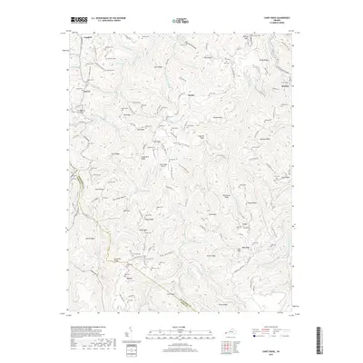
1958 Map of Duty
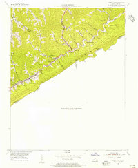
USGS Topo · Published 1984About this map
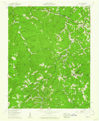
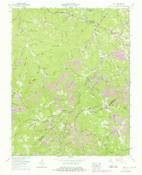
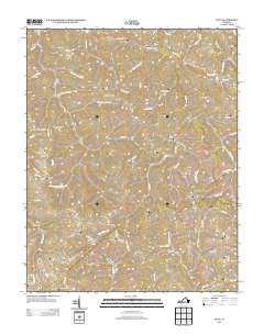
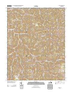
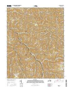
Sandy Ridge and Long Ridge anchor the landscape of this Central Appalachian coal country, where the borders of Dickenson, Buchanan, and Russell counties converge. The mapping shows an economy and geography defined by industrial extraction and small creek-side settlements. Extensive mining operations are prominent, specifically the Moss No 3 Mine and various Strip mines near the Sourwood Mountain divide.
Find a feature on this map
81 named features on this map. Tap any name to fly to it.
Don’t see what you’re looking for? This feature index may not catch every label — zoom into the map to look around manually.
Map Details
Editions of this 1958 Duty Map
Historical Maps of Carrie Through Time
22 maps found
1916 Regina
Dickenson County, VA
1935 Wilder
Dickenson County, VA
1954 Jenkins East
Dickenson County, VA
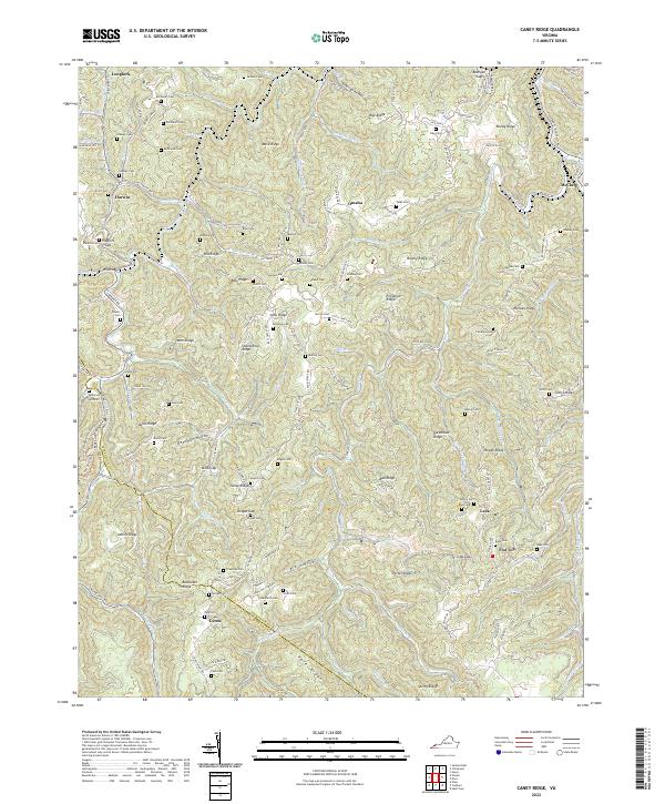
1958 Caney Ridge
Dickenson County, VA
1958 Duty
Dickenson County, VA
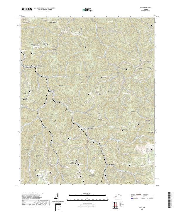
1958 Nora
Dickenson County, VA
1963 Jenkins East
Dickenson County, VA
2011 Caney Ridge
Dickenson County, VA
2011 Duty
Dickenson County, VA

2011 Nora
Dickenson County, VA
2013 Caney Ridge
Dickenson County, VA
2013 Duty
Dickenson County, VA
2013 Nora
Dickenson County, VA
2016 Caney Ridge
Dickenson County, VA

2016 Duty
Dickenson County, VA
2016 Nora
Dickenson County, VA
2019 Caney Ridge
Dickenson County, VA
2019 Duty
Dickenson County, VA
2019 Nora
Dickenson County, VA
2022 Caney Ridge
Dickenson County, VA

2022 Duty
Dickenson County, VA
2022 Nora
Dickenson County, VA