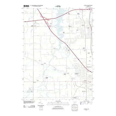
2010 Map of Canfield
USGS Topo · Published 2010About this map
Meander Creek Reservoir dominates the northern landscape of this region, which transitioned from traditional farming to a hub of transit and light industry by 2010. The city of Canfield and the sprawling community of Austintown serve as the primary population centers, while smaller crossroad settlements like Lipkey Corners and Taylor Corners maintain their historical identities. The map reveals a high density of burial grounds, including the Cotton Private Cemetery and Brunsteter Cemetery, which provide essential touchstones for genealogical research. Cultural and institutional landmarks are plentiful, from the Mahoning County Fairgrounds in the southeast to the Mahoning County Joint Vocational School Airport near Herbert Corners. Waterways such as Sawmill Creek and Fourmile Run weave through residential developments and commercial corridors, illustrating the integration of natural drainage with modern urban planning.
Find a feature on this map
67 named features on this map. Tap any name to fly to it.
Don’t see what you’re looking for? This feature index may not catch every label — zoom into the map to look around manually.
Map Details
Editions of this 2010 Canfield Map
This is the sole edition of this map. No revisions or reprints were ever made.
Other maps of this area

1906 · Youngstown
USGS Topo · 1:62,500

1907 · Columbiana
USGS Topo · 1:62,500

1908 · Youngstown
USGS Topo · 1:62,500

1908 · Warren
USGS Topo · 1:62,500

1909 · Lisbon
USGS Topo · 1:62,500

1909 · Columbiana
USGS Topo · 1:62,500

1950 · Cleveland
USGS Topo · 1:250,000

1951 · Canton
USGS Topo · 1:250,000

1951 · Columbiana
USGS Topo · 1:24,000

1951 · Youngstown
USGS Topo · 1:24,000