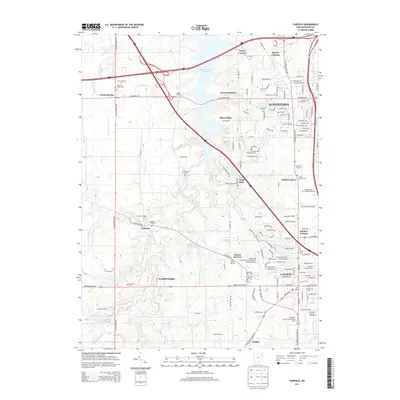
2013 Map of Canfield
USGS Topo · Published 2013About this map
Meander Creek Reservoir dominates the northern landscape of this Mahoning County corridor, where suburban expansion meets long-standing agricultural roots. The dual hubs of Austintown and Canfield are connected by a dense network of major transit arteries, including I-80 and I-76, illustrating the region's modern role as a transportation crossroads. Despite this development, numerous small historic nodes like Lipkey Corners, Misner Corners, and Geeburg remain identifiable, often marked by local burial grounds such as Covenanter Cem and the Old N Cem. The southern reach is defined by the expansive Mahoning County Fairgrounds and the Mahoning County Experimental Farm, reflecting the area's continued dedication to its rural heritage. Smaller landmarks, from the Mollica Airport to several private family plots like Cotton Private Cem, offer fine-grained details for local historians and genealogists.
Find a feature on this map
70 named features on this map. Tap any name to fly to it.
Don’t see what you’re looking for? This feature index may not catch every label — zoom into the map to look around manually.
Map Details
Editions of this 2013 Canfield Map
This is the sole edition of this map. No revisions or reprints were ever made.
Other maps of this area

1906 · Youngstown
USGS Topo · 1:62,500

1907 · Columbiana
USGS Topo · 1:62,500

1908 · Youngstown
USGS Topo · 1:62,500

1908 · Warren
USGS Topo · 1:62,500

1909 · Lisbon
USGS Topo · 1:62,500

1909 · Columbiana
USGS Topo · 1:62,500

1950 · Cleveland
USGS Topo · 1:250,000

1951 · Canton
USGS Topo · 1:250,000

1951 · Columbiana
USGS Topo · 1:24,000

1951 · Youngstown
USGS Topo · 1:24,000