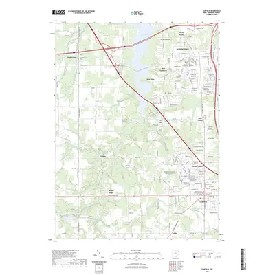
2023 Map of Canfield
USGS Topo · Published 2023About this map
Meander Creek Reservoir dominates the northern half of this landscape, its waters reaching toward the residential growth of Austintown and West Austintown. This modern mapping captures a region where the dense road networks of the late 20th and early 21st centuries intersect with long-standing rural community foundations. Established burial grounds like Ellsworth Cem and Geeburg Cem remain as quiet landmarks amid the suburbanization of Westhill Heights and Smith Corners.
Find a feature on this map
69 named features on this map. Tap any name to fly to it.
Don’t see what you’re looking for? This feature index may not catch every label — zoom into the map to look around manually.
Map Details
Editions of this 2023 Canfield Map
This is the sole edition of this map. No revisions or reprints were ever made.
Other maps of this area

1906 · Youngstown
USGS Topo · 1:62,500

1907 · Columbiana
USGS Topo · 1:62,500

1908 · Youngstown
USGS Topo · 1:62,500

1908 · Warren
USGS Topo · 1:62,500

1909 · Lisbon
USGS Topo · 1:62,500

1909 · Columbiana
USGS Topo · 1:62,500

1950 · Cleveland
USGS Topo · 1:250,000

1951 · Canton
USGS Topo · 1:250,000

1951 · Columbiana
USGS Topo · 1:24,000

1951 · Youngstown
USGS Topo · 1:24,000