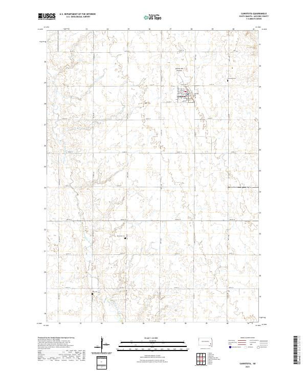
2021 Map of Canistota
USGS Topo · Published 2021About this map
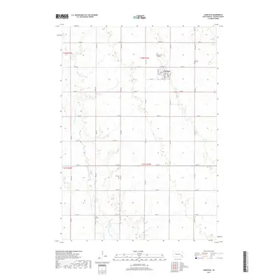
Canistota serves as the central hub of this McCook County landscape, situated atop the Coteau des Prairies upland plateau. The town's grid is well-defined by local landmarks like Main St and Railway Ave, reflecting its orientation toward historic transportation corridors. The surrounding rural acreage is drained by the W Fork Vermillion River, which meanders through the western and southern portions of the quadrangle. For those researching local family history, the map precisely locates three distinct burial sites: Canistota Cem just north of town, Riverside Cem near the river bend, and Rose Hill Cem further south. The landscape is interconnected by a rigid section-line road network, including Co Hwy 9, which maintains the traditional agricultural geometry of the region.
Find a feature on this map
33 named features on this map. Tap any name to fly to it.
Don’t see what you’re looking for? This feature index may not catch every label — zoom into the map to look around manually.
Map Details
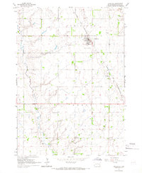
Editions of this 2021 Canistota Map
This is the sole edition of this map. No revisions or reprints were ever made.
Historical Maps of Canistota Through Time
5 maps found
Featured Locations
- Grant Township, SD
- Union Township, SD
- Canistota Township, SD
- Emery Township, SD
- Canistota, Canistota Township