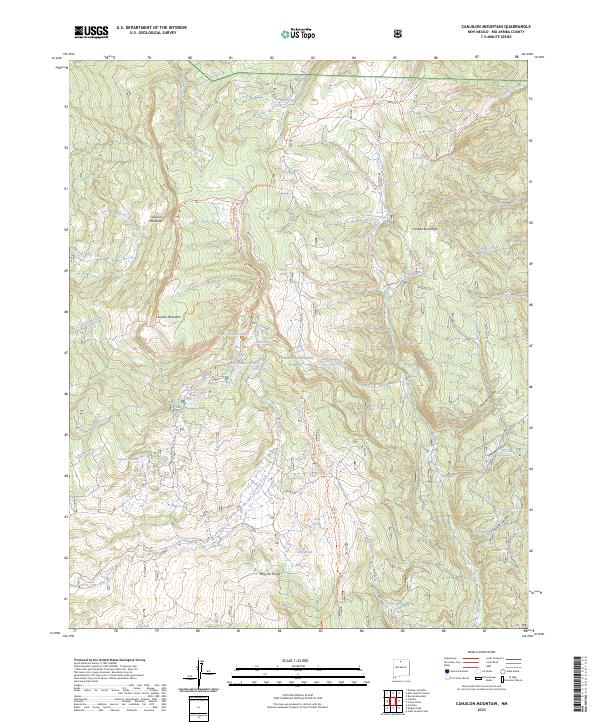
2023 Map of Canjilon Mountain
USGS Topo · Published 2023About this map
Carson National Forest forms the primary backdrop for this high-elevation landscape in Rio Arriba County. The terrain is defined by a series of distinct alpine water bodies, including Upper Canjilon Lakes, Middle Canjilon Lakes, and Lower Canjilon Lakes, which congregate beneath the shadow of Canjilon Mountain. The drainage patterns are complex, with Rio Nutrias and Canjilon Creek cutting through the montane environment. For outdoor historians and researchers, the map traces the critical route of the Continental Divide National Scenic Trl as it traverses the northern sections. Evidence of high-country grazing and seasonal usage is suggested by open expanses like Canjilon Meadows and numerous water sources such as Alkali Spring and Fifteen Springs.
Find a feature on this map
43 named features on this map. Tap any name to fly to it.
Don’t see what you’re looking for? This feature index may not catch every label — zoom into the map to look around manually.
Map Details
Editions of this 2023 Canjilon Mountain Map
This is the sole edition of this map. No revisions or reprints were ever made.
Other maps of this area

1918 · Abiquiu
USGS Topo · 1:125,000

1918 · Tusas
USGS Topo · 1:125,000

1953 · Valle Grande Peak
USGS Topo · 1:24,000

1953 · Magote Peak
USGS Topo · 1:24,000

1953 · Canjilon
USGS Topo · 1:24,000

1954 · Aztec
USGS Topo · 1:250,000

1955 · Cebolla
USGS Topo · 1:62,500

1958 · Aztec
USGS Topo · 1:250,000

1962 · Aztec
USGS Topo · 1:250,000

1963 · Burned Mountain
USGS Topo · 1:24,000