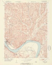
1953 Map of Cannelton
USGS Topo · Published 1954About this map
The Ohio River defines the landscape of this 1953 survey, serving as the border between Indiana and Kentucky where the city of Cannelton faces Hawesville. The river's winding path dictates the region's development, with industrial and residential clusters gathered at the water's edge while the interior rises into the ridgelines of the Hoosier National Forest. The map documents a mid-century community through landmarks like the Drive-in Theater and the Hoosier Heights Country Club just north of town.
Find a feature on this map
60 named features on this map. Tap any name to fly to it.
Don’t see what you’re looking for? This feature index may not catch every label — zoom into the map to look around manually.
Map Details
Editions of this 1953 Cannelton Map
3 editions found
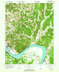
Other maps of this area

1900 · St Meinrad
USGS Topo · 1:62,500

1903 · St. Meinrad
USGS Topo · 1:62,500

1903 · Tell City
USGS Topo · 1:62,500

1934 · Cannelton
USGS Topo · 1:62,500

1949 · Cannelton
USGS Topo · 1:24,000

1953 · Cannelton
USGS Topo · 1:24,000

1953 · Cloverport
USGS Topo · 1:24,000

1953 · Tell City
USGS Topo · 1:24,000
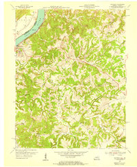
1953 · Mattingly
USGS Topo · 1:24,000
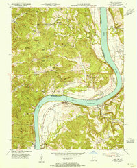
1953 · Rome
USGS Topo · 1:24,000