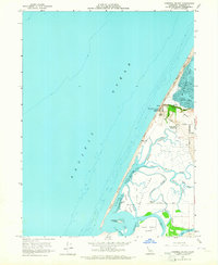
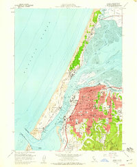
1959 Map of Cannibal Island
USGS Topo · Published 1964About this map
Cannibal Island and the complex tidal landscape of the Eel River delta dominate this 1959 survey of the Humboldt County coastline. The terrain is a intricate network of waterways, including McNulty Slough, Sevenmile Slough, and Cannibal Slough, separated by low-lying tracts like Mosley Flat. To the north, the elevation rises sharply at Table Bluff, where the Table Bluff Lighthouse Coast Guard Reservation stands as a primary navigational landmark overlooking the Pacific Ocean.
Find a feature on this map
42 named features on this map. Tap any name to fly to it.
Don’t see what you’re looking for? This feature index may not catch every label — zoom into the map to look around manually.
Map Details
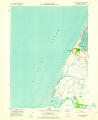
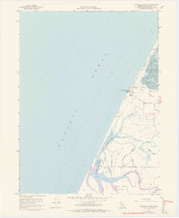
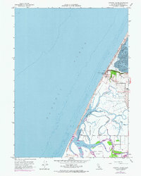
Editions of this 1959 Cannibal Island Map
4 editions found
Other maps of this area

1916 · Cape Fortunas
USGS Topo · 1:62,500

1922 · Eureka
USGS Topo · 1:62,500

1933 · Eureka
USGS Topo · 1:48,000

1942 · Eureka
USGS Topo · 1:62,500

1943 · Ferndale
USGS Topo · 1:62,500

1944 · Fortuna
USGS Topo · 1:62,500

1949 · Eureka
USGS Topo · 1:250,000

1951 · Eureka
USGS Topo · 1:62,500

1951 · Ferndale
USGS Topo · 1:62,500
1958 · Eureka
USGS Topo · 1:24,000