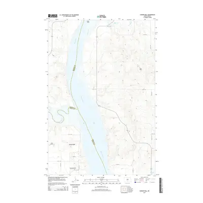
2014 Map of Cannon Ball
USGS Topo · Published 2014About this map
The Missouri River serves as a major geographical boundary on this sheet, marking the intersection of Morton, Emmons, and Sioux Counties. The settlement of Cannon Ball is situated on the western bank, just south of where the Cannonball River feeds into the expansive Lake Oahe reservoir. This landscape is characterized by its proximity to these major waterways and the distinct relief of landmarks like Coal Butte and Twin Buttes to the east and west.
Find a feature on this map
27 named features on this map. Tap any name to fly to it.
Don’t see what you’re looking for? This feature index may not catch every label — zoom into the map to look around manually.
Map Details
Editions of this 2014 Cannon Ball Map
This is the sole edition of this map. No revisions or reprints were ever made.
Other maps of this area

1907 · Bismarck
USGS Topo · 1:125,000

1954 · Bismarck
USGS Topo · 1:250,000

1958 · Bismarck
USGS Topo · 1:250,000

1968 · Cannon Ball
USGS Topo · 1:24,000

1968 · Cannon Ball SE
USGS Topo · 1:24,000

1968 · Cannon Ball NW
USGS Topo · 1:24,000

1968 · Cannon Ball SW
USGS Topo · 1:24,000

1971 · Moffit SW
USGS Topo · 1:24,000

1971 · Huff
USGS Topo · 1:24,000

1971 · Fort Rice
USGS Topo · 1:24,000