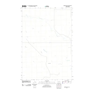
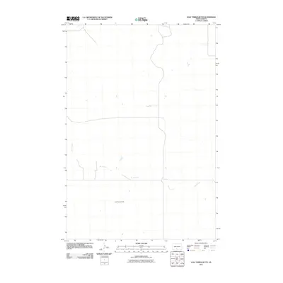
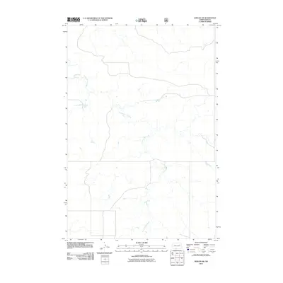
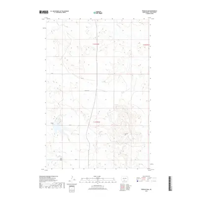
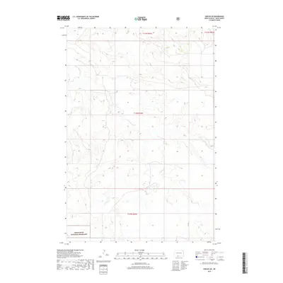
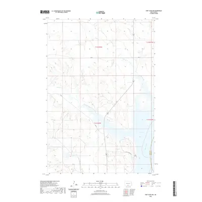
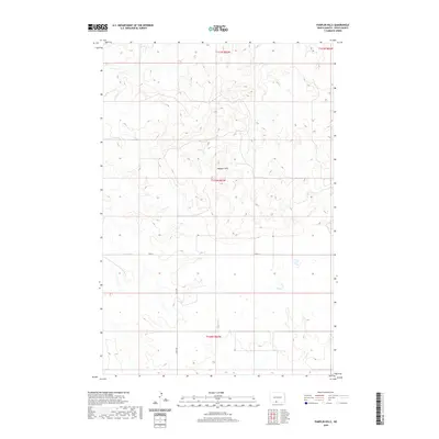
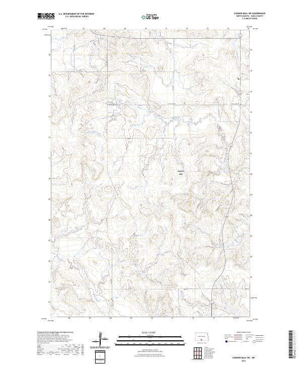
1968 Map of Cannon Ball SW
USGS Topo · Published 1971About this map
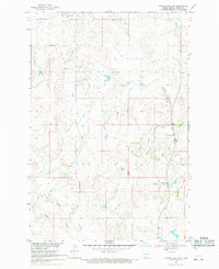
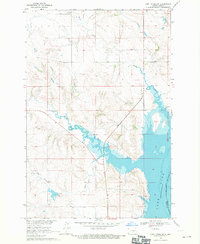
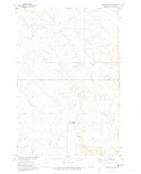
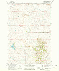
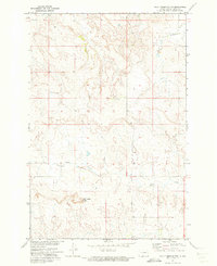
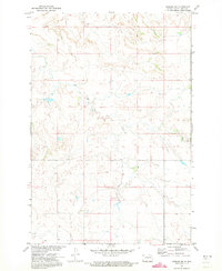
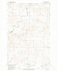
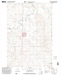
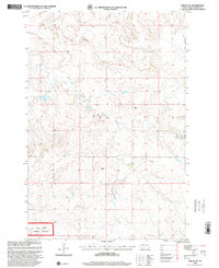
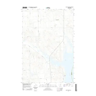
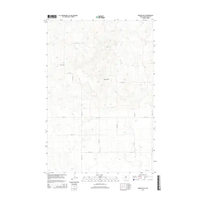
Standing Rock Indian Reservation encompasses this entire landscape in Sioux County, where the high plains are deeply incised by a network of drainage channels. The map documents a sparsely settled ranching and farming environment as it appeared in the late 1960s, defined by the winding course of Beaver Creek and the southern reaches of Fool Bear Creek. The Department of the Interior produced this sheet as part of a development program for the Missouri River Basin, capturing the fine details of the terrain through photogrammetric methods.
Find a feature on this map
9 named features on this map. Tap any name to fly to it.
Don’t see what you’re looking for? This feature index may not catch every label — zoom into the map to look around manually.
Map Details
Editions of this 1968 Cannon Ball SW Map
This is the sole edition of this map. No revisions or reprints were ever made.
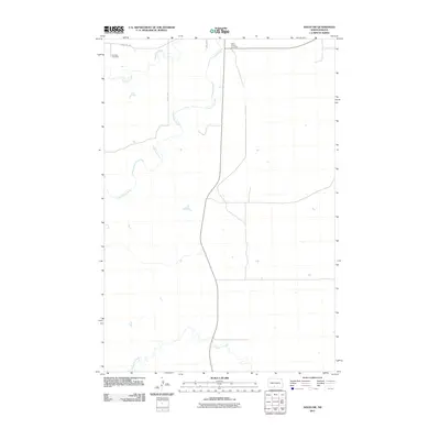
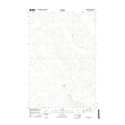
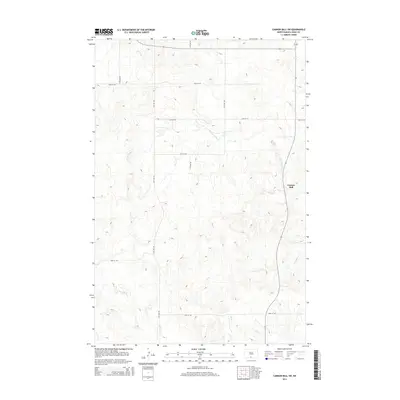
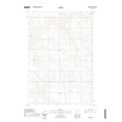
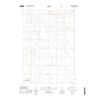
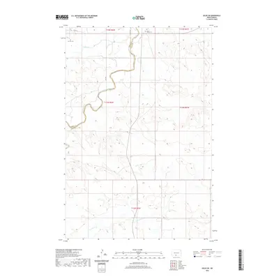
Historical Maps of Cannonball District Through Time
62 maps found
1968 Cannon Ball SW
Sioux County, ND
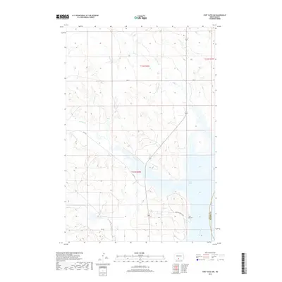
1968 Fort Yates NW
Sioux County, ND
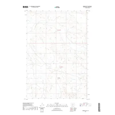
1971 Barren Butte
Sioux County, ND
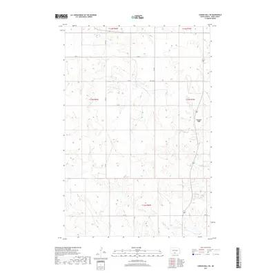
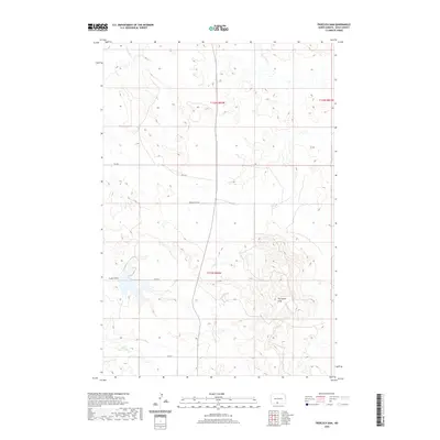
1971 Froelich Dam
Sioux County, ND
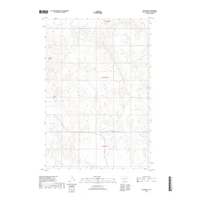
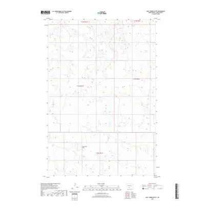
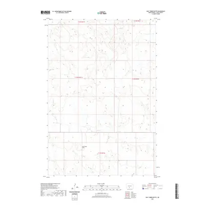
1971 Half Timber Butte
Sioux County, ND
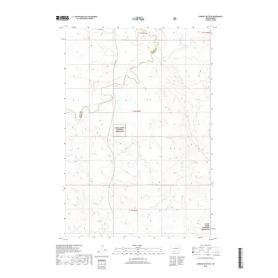
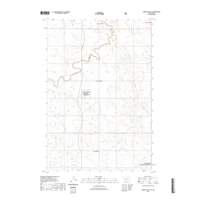
1971 Lookout Butte SE
Sioux County, ND
1971 Pamplin Hills
Sioux County, ND
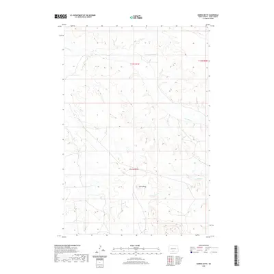
1971 Selfridge SE
Sioux County, ND
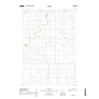
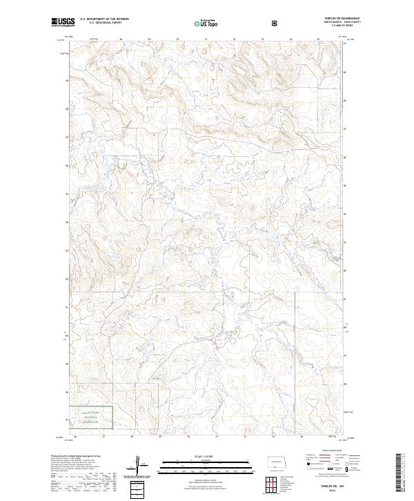
1971 Shields SW
Sioux County, ND
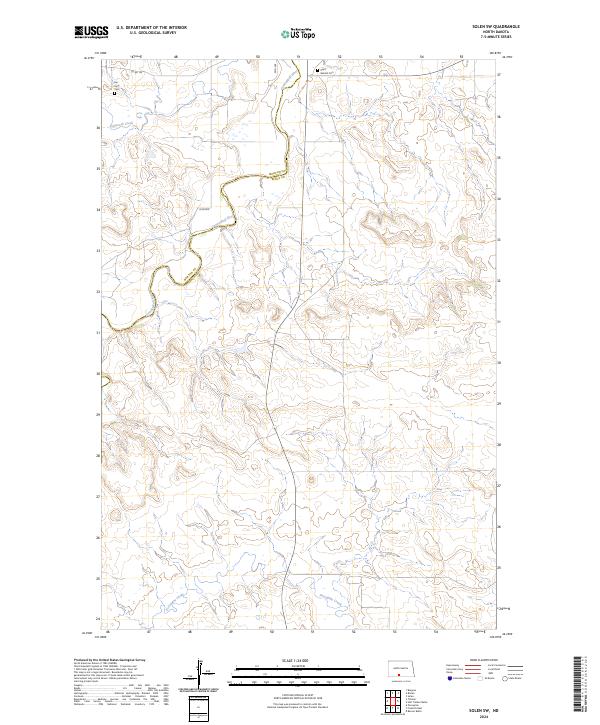
1971 Solen SW
Sioux County, ND
1998 Lookout Butte SE
Sioux County, ND
1998 Shields SW
Sioux County, ND
2011 Barren Butte
Sioux County, ND
2011 Cannon Ball SW
Sioux County, ND
2011 Fort Yates NW
Sioux County, ND
2011 Froelich Dam
Sioux County, ND
2011 Half Timber Butte
Sioux County, ND
2011 Lookout Butte SE
Sioux County, ND
2011 Pamplin Hills
Sioux County, ND
2011 Selfridge SE
Sioux County, ND
2011 Shields SW
Sioux County, ND
2011 Solen SW
Sioux County, ND
2014 Barren Butte
Sioux County, ND
2014 Cannon Ball SW
Sioux County, ND
2014 Fort Yates NW
Sioux County, ND
2014 Froelich Dam
Sioux County, ND
2014 Half Timber Butte
Sioux County, ND
2014 Lookout Butte SE
Sioux County, ND
2014 Pamplin Hills
Sioux County, ND
2014 Selfridge SE
Sioux County, ND
2014 Shields SW
Sioux County, ND
2014 Solen SW
Sioux County, ND
2017 Barren Butte
Sioux County, ND
2017 Cannon Ball SW
Sioux County, ND
2017 Selfridge SE
Sioux County, ND
2018 Fort Yates NW
Sioux County, ND
2018 Froelich Dam
Sioux County, ND
2018 Half Timber Butte
Sioux County, ND
2018 Lookout Butte SE
Sioux County, ND
2018 Pamplin Hills
Sioux County, ND
2018 Shields SW
Sioux County, ND
2018 Solen SW
Sioux County, ND
2020 Barren Butte
Sioux County, ND
2020 Cannon Ball SW
Sioux County, ND
2020 Fort Yates NW
Sioux County, ND
2020 Froelich Dam
Sioux County, ND
2020 Half Timber Butte
Sioux County, ND
2020 Lookout Butte SE
Sioux County, ND
2020 Pamplin Hills
Sioux County, ND
2020 Selfridge SE
Sioux County, ND
2020 Shields SW
Sioux County, ND
2020 Solen SW
Sioux County, ND
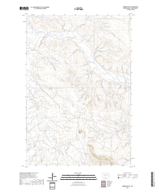
2024 Barren Butte
Sioux County, ND
2024 Cannon Ball SW
Sioux County, ND
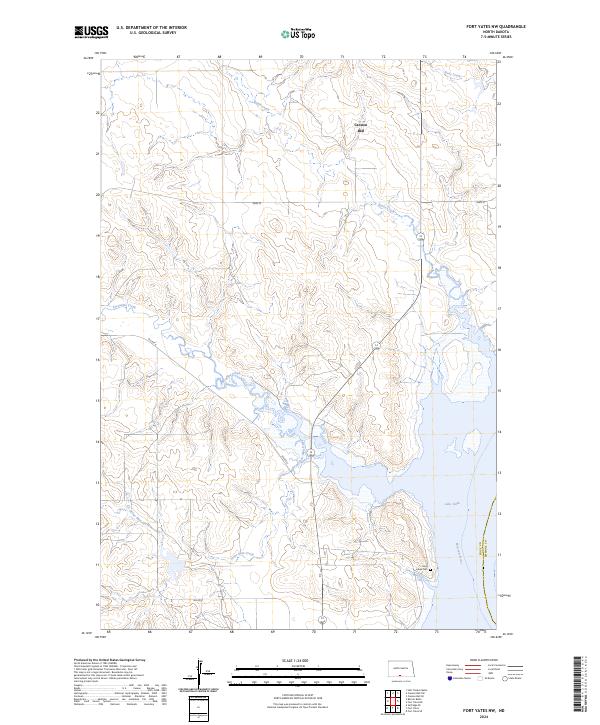
2024 Fort Yates NW
Sioux County, ND
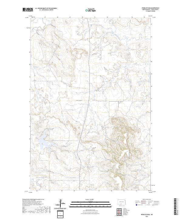
2024 Froelich Dam
Sioux County, ND
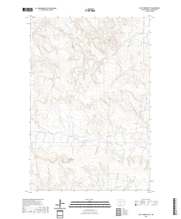
2024 Half Timber Butte
Sioux County, ND
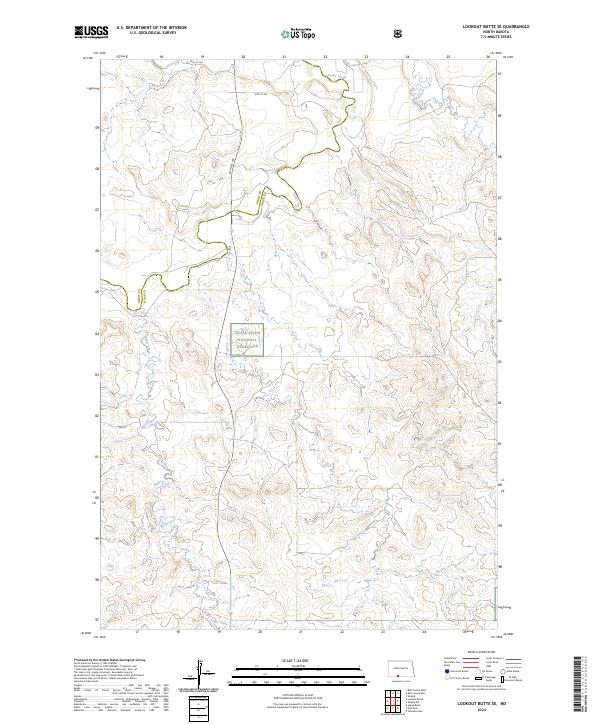
2024 Lookout Butte SE
Sioux County, ND
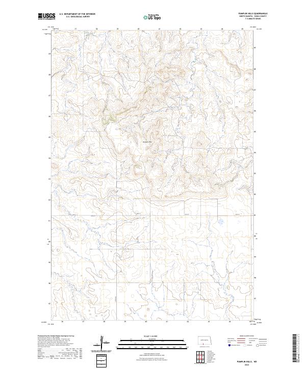
2024 Pamplin Hills
Sioux County, ND
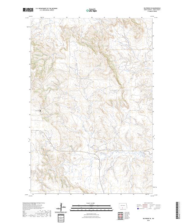
2024 Selfridge SE
Sioux County, ND
2024 Shields SW
Sioux County, ND
2024 Solen SW
Sioux County, ND