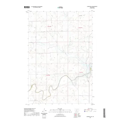
2020 Map of Cannon Ball NW
USGS Topo · Published 2020About this map
The Cannonball River defines the southern portion of this landscape, carving a winding path through the borderlands of Morton and Sioux Counties. This 2020 record of the region captures the intricate drainage system of the Cantapeta Creek watershed, including the Northwest Br Cantapeta Cr and N Br Cantapeta Cr. To the northeast, the prominent elevation of Castle Butte stands as a significant topographic landmark above the surrounding plains. The map details a network of rural routes such as Co Rd 80 and Co Rd 134, reflecting the modern land divisions and township boundaries like t135n r80w that organize this agricultural and ranching territory. This survey is essential for understanding the contemporary hydrology and topographic features of the Cannonball District.
Find a feature on this map
17 named features on this map. Tap any name to fly to it.
Don’t see what you’re looking for? This feature index may not catch every label — zoom into the map to look around manually.
Map Details
Editions of this 2020 Cannon Ball NW Map
This is the sole edition of this map. No revisions or reprints were ever made.
Other maps of this area

1907 · Bismarck
USGS Topo · 1:125,000

1954 · Bismarck
USGS Topo · 1:250,000

1958 · Bismarck
USGS Topo · 1:250,000

1968 · Cannon Ball
USGS Topo · 1:24,000

1968 · Cannon Ball SE
USGS Topo · 1:24,000

1968 · Cannon Ball NW
USGS Topo · 1:24,000

1968 · Cannon Ball SW
USGS Topo · 1:24,000

1971 · Half Timber Butte
USGS Topo · 1:24,000

1971 · Huff
USGS Topo · 1:24,000

1971 · Fort Rice
USGS Topo · 1:24,000