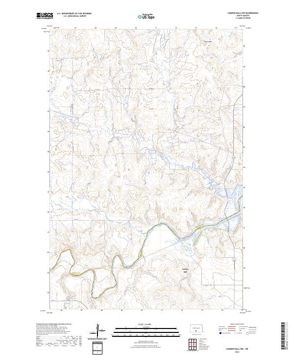
2024 Map of Cannon Ball NW
USGS Topo · Published 2024About this map
The Cannonball River snakes along the southern border of this landscape, forming the natural divide between Morton and Sioux counties. This 2024 survey documents a predominantly open, agrarian topography characterized by the intricate drainage systems of North Branch and Northwest Branch Cantapeta Creeks, which flow through the north-central sections. Toward the northeast, the terrain is punctuated by Castle Butte, a prominent landmark rising above the surrounding draws.
Find a feature on this map
17 named features on this map. Tap any name to fly to it.
Don’t see what you’re looking for? This feature index may not catch every label — zoom into the map to look around manually.
Map Details
Editions of this 2024 Cannon Ball NW Map
This is the sole edition of this map. No revisions or reprints were ever made.
Other maps of this area

1907 · Bismarck
USGS Topo · 1:125,000

1954 · Bismarck
USGS Topo · 1:250,000

1958 · Bismarck
USGS Topo · 1:250,000

1968 · Cannon Ball
USGS Topo · 1:24,000

1968 · Cannon Ball SE
USGS Topo · 1:24,000

1968 · Cannon Ball NW
USGS Topo · 1:24,000

1968 · Cannon Ball SW
USGS Topo · 1:24,000

1971 · Half Timber Butte
USGS Topo · 1:24,000

1971 · Huff
USGS Topo · 1:24,000

1971 · Fort Rice
USGS Topo · 1:24,000