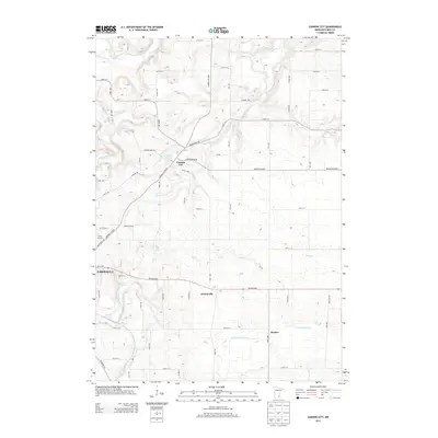
2013 Map of Cannon City
USGS Topo · Published 2013About this map
Cannon City serves as a central point in this Rice County landscape, situated where the rolling uplands of eastern Minnesota meet the riparian corridors of the Cannon River and Straight River. The drainage patterns here are particularly complex, with Prairie Cr and Falls Cr carving through the terrain to feed larger systems, including the headwaters of the N Fork Zumbro River in the southeast.
Find a feature on this map
58 named features on this map. Tap any name to fly to it.
Don’t see what you’re looking for? This feature index may not catch every label — zoom into the map to look around manually.
Map Details
Editions of this 2013 Cannon City Map
This is the sole edition of this map. No revisions or reprints were ever made.
Other maps of this area

1953 · Saint Paul
USGS Topo · 1:250,000

1959 · Saint Paul
USGS Topo · 1:250,000

1960 · Faribault
USGS Topo · 1:24,000

1960 · Northfield
USGS Topo · 1:24,000

1960 · Cannon City
USGS Topo · 1:24,000

1960 · Dennison
USGS Topo · 1:24,000

1960 · Little Chicago
USGS Topo · 1:24,000

1960 · Nerstrand
USGS Topo · 1:24,000

1962 · Medford East
USGS Topo · 1:24,000

1962 · Moland
USGS Topo · 1:24,000