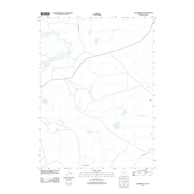
2012 Map of Cannonball Cut
USGS Topo · Published 2012About this map
Old Fort Fetterman Rd cuts through the high plains of Albany County, following a historic corridor that once linked vital frontier outposts. This 2012 survey of the Cannonball Cut area reveals a landscape defined by water management and natural hydrology, where the Taylor Ditch and Johnston Ditch divert flow across the arid terrain. The map captures the subtle geography of the Laramie Mountains' foothills, featuring the prominent Chalk Bluff rising above the drainage systems of Spring Cr and Meiser Cr.
Find a feature on this map
11 named features on this map. Tap any name to fly to it.
Don’t see what you’re looking for? This feature index may not catch every label — zoom into the map to look around manually.
Map Details
Editions of this 2012 Cannonball Cut Map
This is the sole edition of this map. No revisions or reprints were ever made.
Other maps of this area

1954 · Cheyenne
USGS Topo · 1:250,000

1955 · Pine Tree Ridge
USGS Topo · 1:24,000

1955 · Mc Gill Lakes
USGS Topo · 1:24,000

1955 · Sevenmile Spring
USGS Topo · 1:24,000

1955 · Ayres Spring
USGS Topo · 1:24,000

1955 · Cooper Lake North
USGS Topo · 1:24,000

1955 · Lake Ione
USGS Topo · 1:24,000

1955 · Rock River
USGS Topo · 1:24,000

1955 · Cannonball Cut
USGS Topo · 1:24,000

1955 · Wilcox
USGS Topo · 1:24,000