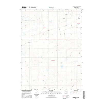
2015 Map of Cannonball Cut
USGS Topo · Published 2015About this map
Fetterman Rd traverses this high-plains landscape of Albany County, following a route shaped by essential water resources and irrigation infrastructure. The presence of the Taylor Ditch and Johnston Ditch reflects the area's agricultural history, where water management was critical to ranching and land use in the arid Wyoming basin. The terrain is marked by distinctive elevations like Chalk Bluff and the namesake Cannonball Cut in the southern portion of the quadrangle.
Find a feature on this map
30 named features on this map. Tap any name to fly to it.
Don’t see what you’re looking for? This feature index may not catch every label — zoom into the map to look around manually.
Map Details
Editions of this 2015 Cannonball Cut Map
This is the sole edition of this map. No revisions or reprints were ever made.
Other maps of this area

1954 · Cheyenne
USGS Topo · 1:250,000

1955 · Pine Tree Ridge
USGS Topo · 1:24,000

1955 · Mc Gill Lakes
USGS Topo · 1:24,000

1955 · Sevenmile Spring
USGS Topo · 1:24,000

1955 · Ayres Spring
USGS Topo · 1:24,000

1955 · Cooper Lake North
USGS Topo · 1:24,000

1955 · Lake Ione
USGS Topo · 1:24,000

1955 · Rock River
USGS Topo · 1:24,000

1955 · Cannonball Cut
USGS Topo · 1:24,000

1955 · Wilcox
USGS Topo · 1:24,000