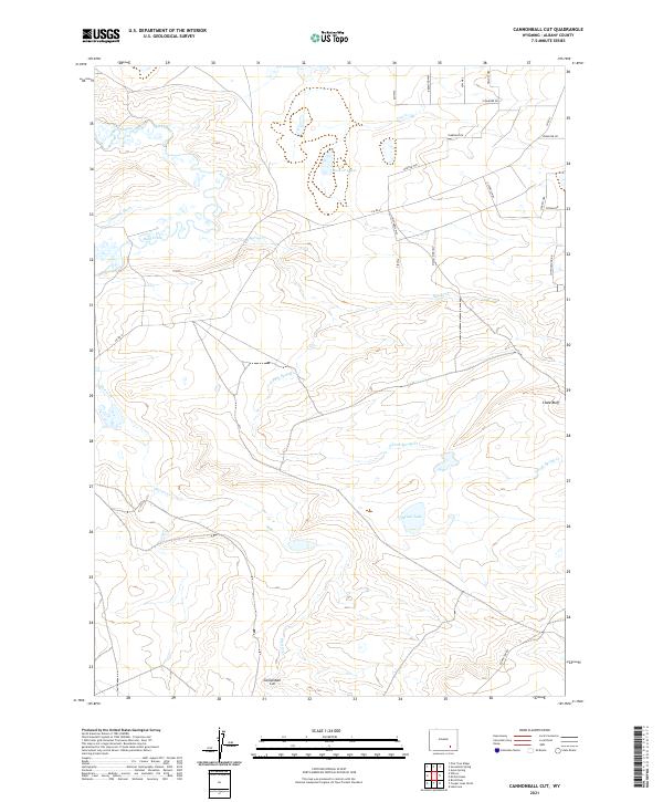
2021 Map of Cannonball Cut
USGS Topo · Published 2021About this map
Cannonball Cut anchors the southern landscape of this Albany County map, situated amidst a complex drainage network that defines the region's geography. The presence of irrigation features like Taylor Ditch and Johnston Ditch reflects the vital importance of water management in the high plains, where these channels redirect flow from Rock Creek to support local needs. The terrain rises toward the east at Chalk Bluff, while the hydrology is further defined by Meiser Lake and the various branches of Spring Creek. A modern residential grid appears in the northeast corner, with streets named for various trees such as Sycamore Dr and Tamerack Dr, providing a sharp contrast to the open ranch land and natural drainages like Meiser Creek that dominate the central and western portions of the quadrangle.
Find a feature on this map
31 named features on this map. Tap any name to fly to it.
Don’t see what you’re looking for? This feature index may not catch every label — zoom into the map to look around manually.
Map Details
Editions of this 2021 Cannonball Cut Map
This is the sole edition of this map. No revisions or reprints were ever made.
Other maps of this area

1954 · Cheyenne
USGS Topo · 1:250,000

1955 · Pine Tree Ridge
USGS Topo · 1:24,000

1955 · Mc Gill Lakes
USGS Topo · 1:24,000

1955 · Sevenmile Spring
USGS Topo · 1:24,000

1955 · Ayres Spring
USGS Topo · 1:24,000

1955 · Cooper Lake North
USGS Topo · 1:24,000

1955 · Lake Ione
USGS Topo · 1:24,000

1955 · Rock River
USGS Topo · 1:24,000

1955 · Cannonball Cut
USGS Topo · 1:24,000

1955 · Wilcox
USGS Topo · 1:24,000