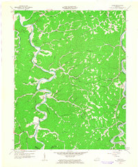
1961 Map of Canoe
USGS Topo · Published 1963About this map
The Middle Fork Kentucky River snakes through the center of this Breathitt County landscape, its tight bends defining the placement of small agricultural settlements and family cemeteries during the early 1960s. At Crockettsville and Shoulderblade, the proximity to water dictated the patterns of life, while the Louisville & Nashville Railroad traces the path of the North Fork Kentucky River in the southeastern corner near Altro.
Find a feature on this map
79 named features on this map. Tap any name to fly to it.
Don’t see what you’re looking for? This feature index may not catch every label — zoom into the map to look around manually.
Map Details
Editions of this 1961 Canoe Map
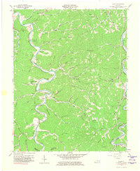
2 editions found
Other maps of this area

1889 · Salyersville
USGS Topo · 1:125,000

1891 · Manchester
USGS Topo · 1:125,000

1891 · Hazard
USGS Topo · 1:125,000

1891 · Salyersville
USGS Topo · 1:125,000

1892 · Beattyville
USGS Topo · 1:125,000

1899 · Salyersville
USGS Topo · 1:125,000

1913 · Buckhorn
USGS Topo · 1:62,500

1951 · Quicksand
USGS Topo · 1:24,000

1951 · Jackson
USGS Topo · 1:24,000

1952 · Tallega
USGS Topo · 1:24,000