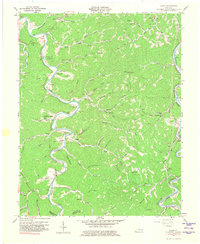
1961 Map of Canoe
USGS Topo · Published 1981About this map
The Middle Fork Kentucky River winds sharply through this corner of the Cumberland Plateau, defining the life and transport of Breathitt County in the mid-twentieth century. Small communities and family homesteads are concentrated along the narrow valley floors of Shoulderblade Creek, Bowling Creek, and Turners Creek. Local centers such as Crockettsville and Canoe serve as anchors for a landscape dotted with numerous family cemeteries, including the Hounshell Cem and Callahan Cem.
Find a feature on this map
83 named features on this map. Tap any name to fly to it.
Don’t see what you’re looking for? This feature index may not catch every label — zoom into the map to look around manually.
Map Details
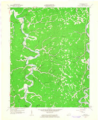
Editions of this 1961 Canoe Map
2 editions found
Other maps of this area

1889 · Salyersville
USGS Topo · 1:125,000

1891 · Manchester
USGS Topo · 1:125,000

1891 · Hazard
USGS Topo · 1:125,000

1891 · Salyersville
USGS Topo · 1:125,000

1892 · Beattyville
USGS Topo · 1:125,000

1899 · Salyersville
USGS Topo · 1:125,000

1913 · Buckhorn
USGS Topo · 1:62,500

1951 · Quicksand
USGS Topo · 1:24,000

1951 · Jackson
USGS Topo · 1:24,000

1952 · Tallega
USGS Topo · 1:24,000