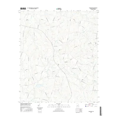
2017 Map of Canoochee
USGS Topo · Published 2017About this map
Canoochee anchors this agricultural landscape in Emanuel County, where a network of family-named roads and drainage systems defines the rural geography. The area is heavily intersected by the tributaries of the Ohoopee River system, including Big Long Cr and Little Canoochee Cr, which flow through the undulating coastal plain. For genealogists, the map is particularly detailed regarding local burial grounds, preserving the locations of Bishops Chapel Cem, Mount Gilead Cem, and Noonday Cem.
Find a feature on this map
63 named features on this map. Tap any name to fly to it.
Don’t see what you’re looking for? This feature index may not catch every label — zoom into the map to look around manually.
Map Details
Editions of this 2017 Canoochee Map
This is the sole edition of this map. No revisions or reprints were ever made.
Other maps of this area

1957 · Macon
USGS Topo · 1:250,000

1958 · Macon
USGS Topo · 1:250,000

1964 · Macon
USGS Topo · 1:250,000

1971 · Swainsboro
USGS Topo · 1:24,000

1971 · Twin City
USGS Topo · 1:24,000
1971 · Twin City SE
USGS Topo · 1:24,000
1971 · Garfield
USGS Topo · 1:24,000
1971 · Canoochee
USGS Topo · 1:24,000

1971 · Summertown
USGS Topo · 1:24,000

1973 · Colemans Lake
USGS Topo · 1:24,000