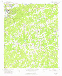
1961 Map of Canton
USGS Topo · Published 1969About this map
The Etowah River carves through the northern landscape, anchoring the industrial and residential development of Canton and its satellite communities of North Canton and South Canton. This early 1960s study, updated with photorevisions in 1968, documents a transitional period for Cherokee County, where traditional rural landmarks like Antioch Ch and Trippe Cem exist alongside emerging infrastructure like a dedicated Airstrip and the Canton Country Club Golf Course.
Find a feature on this map
52 named features on this map. Tap any name to fly to it.
Don’t see what you’re looking for? This feature index may not catch every label — zoom into the map to look around manually.
Map Details
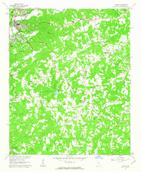
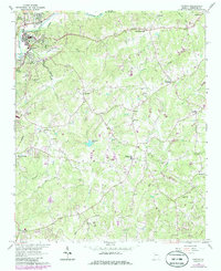
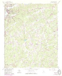
Editions of this 1961 Canton Map
4 editions found
Other maps of this area

1890 · Suwanee
USGS Topo · 1:125,000

1890 · Cartersville
USGS Topo · 1:125,000

1891 · Cartersville
USGS Topo · 1:125,000

1894 · Suwanee
USGS Topo · 1:125,000

1896 · Cartersville
USGS Topo · 1:125,000

1907 · Acworth
USGS Topo · 1:62,500

1909 · Acworth
USGS Topo · 1:62,500

1926 · Tate
USGS Topo · 1:62,500

1928 · Tate
USGS Topo · 1:62,500

1947 · Waleska
USGS Topo · 1:62,500