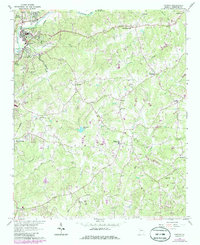
1961 Map of Canton
USGS Topo · Published 1986About this map
The Etowah River carves through the northern portion of this Cherokee County landscape, defining the industrial and civic heart of Canton and North Canton. During the early 1960s, the area's development concentrated near the Seaboard rail line and established landmarks like the Canton Country Club and Harmon Field. The transition from the municipal center to rural crossroads is evident at Carmichael Crossroads and Hickory Flat, where local life anchored around small institutions such as New Hope Ch and Mt Zion Ch.
Find a feature on this map
45 named features on this map. Tap any name to fly to it.
Don’t see what you’re looking for? This feature index may not catch every label — zoom into the map to look around manually.
Map Details
Editions of this 1961 Canton Map
4 editions found
Other maps of this area

1890 · Suwanee
USGS Topo · 1:125,000

1890 · Cartersville
USGS Topo · 1:125,000

1891 · Cartersville
USGS Topo · 1:125,000

1894 · Suwanee
USGS Topo · 1:125,000

1896 · Cartersville
USGS Topo · 1:125,000

1907 · Acworth
USGS Topo · 1:62,500

1909 · Acworth
USGS Topo · 1:62,500

1926 · Tate
USGS Topo · 1:62,500

1928 · Tate
USGS Topo · 1:62,500

1947 · Waleska
USGS Topo · 1:62,500