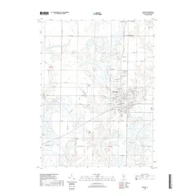
2018 Map of Canton
USGS Topo · Published 2018About this map
Canton serves as the focal point of this late 2010s survey, showing the city's residential expansion and essential community infrastructure. The map documents the localized institutional footprint of the Graham Hospital School of Nursing and Graham Hospital, alongside the academic grounds of Spoon River College to the south. The surrounding landscape in this portion of Fulton County is marked by a high density of ancestral burial grounds, including Shields Chapel Cem, Locust Lane Cem, and the White Chapel Cem.
Find a feature on this map
132 named features on this map. Tap any name to fly to it.
Don’t see what you’re looking for? This feature index may not catch every label — zoom into the map to look around manually.
Map Details
Editions of this 2018 Canton Map
This is the sole edition of this map. No revisions or reprints were ever made.
Other maps of this area

1912 · Canton
USGS Topo · 1:62,500

1925 · Havana
USGS Topo · 1:62,500

1929 · Manito
USGS Topo · 1:62,500

1930 · Glasford
USGS Topo · 1:62,500

1932 · Manito
USGS Topo · 1:62,500

1947 · Lewistown
USGS Topo · 1:24,000

1947 · St. David
USGS Topo · 1:24,000

1948 · Lewistown
USGS Topo · 1:24,000

1948 · St. David
USGS Topo · 1:24,000

1948 · Glasford
USGS Topo · 1:62,500