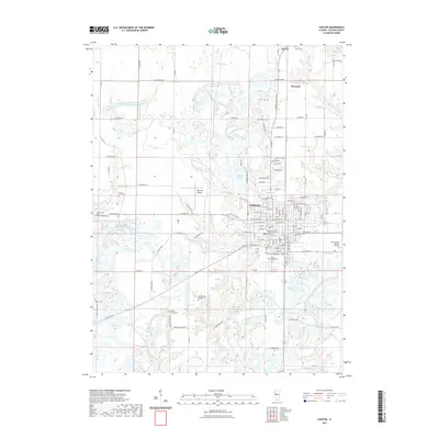
2021 Map of Canton
USGS Topo · Published 2021About this map
Canton serves as the primary urban center for this portion of Fulton County, Illinois, characterized by a dense grid of streets and institutional landmarks. The map documents the presence of Graham Hospital School of Nursing and the campus of Spoon River College, highlighting the area's role in local education and healthcare. Surrounding the city, the landscape is punctuated by numerous small water bodies including Van-Winkle Lake, Rainbow Lake, and Bond Lake, which appear alongside tributaries like Buckheart Creek. The rural periphery is marked by a high concentration of burial sites such as Saint Marys Cem, Shields Chapel Cem, and Greenwood Cem, which provide significant data points for genealogical research. The inclusion of Ingersoll Airport further illustrates the modern transportation infrastructure serving this agricultural and industrial region.
Find a feature on this map
82 named features on this map. Tap any name to fly to it.
Don’t see what you’re looking for? This feature index may not catch every label — zoom into the map to look around manually.
Map Details
Editions of this 2021 Canton Map
This is the sole edition of this map. No revisions or reprints were ever made.
Other maps of this area

1912 · Canton
USGS Topo · 1:62,500

1925 · Havana
USGS Topo · 1:62,500

1929 · Manito
USGS Topo · 1:62,500

1930 · Glasford
USGS Topo · 1:62,500

1932 · Manito
USGS Topo · 1:62,500

1947 · Lewistown
USGS Topo · 1:24,000

1947 · St. David
USGS Topo · 1:24,000

1948 · Lewistown
USGS Topo · 1:24,000

1948 · St. David
USGS Topo · 1:24,000

1948 · Glasford
USGS Topo · 1:62,500